Autumn colours in Nordmarka: hiking Oslo's forest in October
From Oslo: Nordmarka forest 6.5-hour guided walk
Duration: 6.5 hours
- Nordmarka forest
- Full day
The city that backs onto a forest
Oslo is the only major European capital that adjoins a registered wilderness area within its own city limits. Nordmarka — the great forest that begins where the suburban neighbourhoods of Holmenkollen and Sørkedalen end — covers approximately 800 square kilometres of mixed boreal forest, lakes, ridges, and valleys. It is protected from development, accessible by public transport, and in October it turns gold in a way that is entirely, unexpectedly spectacular.
I had visited Nordmarka in summer and found it pleasant but undifferentiated — one green forest among many. Returning in the third week of October, when the birch and aspen had reached peak colour and the daytime temperature was around 8°C with clear skies, was a completely different experience. I want to give you the honest practical account of what it is like and how to do it properly.
| Where | Nordmarka forest, reached via T-bane line 1 (Frognerseteren) or line 5 (Sognsvann) |
| Best time | Second to fourth week of October for peak colour |
| Cost | A single Ruter day pass, around NOK 115 (USD 12) |
| Time needed | Half a day for Sognsvann, a full day for Vettakollen |
| Getting there | 35 minutes by metro from Stortinget station, no car needed |
Autumn colour by elevation and week
Nordmarka does not turn all at once — lower ground colours first and the higher ridges hold their colour longest. Rough guide, based on our repeated October visits:
| Area / elevation | Typical peak week | Notes |
|---|---|---|
| Sognsvann (around 150m) | Early to mid-October | First to turn, first to go bare |
| Frognerseteren (396m) | Mid-October | Reliable middle-of-season colour |
| Vettakollen ridge (477m) | Mid to late October | Holds colour longest, best light |
| Deep forest toward Maridalsvann | Late October | Quietest, fewer people on the trails |
Why October is the right month
Nordmarka’s forest is predominantly coniferous — Norwegian spruce and Scots pine — with significant stands of deciduous trees scattered throughout, particularly birch and trembling aspen. These deciduous elements turn colour in October, creating a contrast against the evergreen backdrop that is visually dramatic in a way that pure deciduous forests often are not.
The timing varies by year. In a typical year, the birch in the lower elevations reaches peak colour in the first two weeks of October, and the colour works upward through the season. By the third week, the higher areas of the forest are at or past peak while the lower valley sections are still in good colour. By November, the deciduous trees are bare and the forest reverts to its winter greens and greys.
October also brings the light quality that photographers specifically seek out in Scandinavian autumn: low, warm, raking sunlight that enters between the trees at a shallow angle for most of the day, rather than the high overhead light of summer. At this latitude in October, the sun reaches a maximum elevation of about 20 to 25 degrees. Every hour of the day has what photographers call the “golden hour” quality.
Getting to Nordmarka by T-bane
The remarkable thing about Nordmarka is how easily it is reached. The T-bane line 1 — the oldest metro line in Scandinavia, opened in 1898 as a steam railway — runs through the forest all the way to its terminus at Frognerseteren, at 396 metres above sea level, deep in Nordmarka. The journey from the city centre (Stortinget station) takes about 35 minutes and costs the standard Ruter fare.
From Frognerseteren station, you step off the train into the forest. There is no transition, no car park, no visitor centre to navigate. The trail network begins at the station and extends in every direction.
The station building itself is worth a moment’s attention: a beautiful 1916 structure in the National Romantic style, with dragon-head decorations and carved timber detailing that would not look out of place in a fairy tale. The adjacent Frognerseteren restaurant, with its outdoor terrace overlooking the city below, is a good option for a late lunch or early dinner — traditional Norwegian food (reindeer stew, lamb dishes, apple cake) at prices that are high but not outrageous, with a view that justifies the cost on clear days.
The Vettakollen route: recommended for autumn views
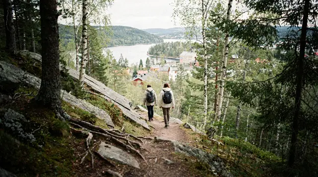
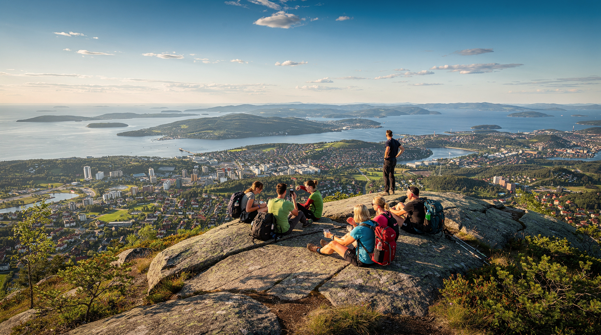
From Frognerseteren, we took the trail toward Vettakollen, a peak at 477 metres that provides a clear view over Oslo and the Oslofjord. The round-trip from the station is about 8 kilometres with 150 metres of ascent — manageable for anyone with a moderate level of fitness.
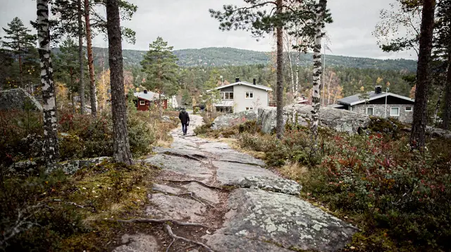
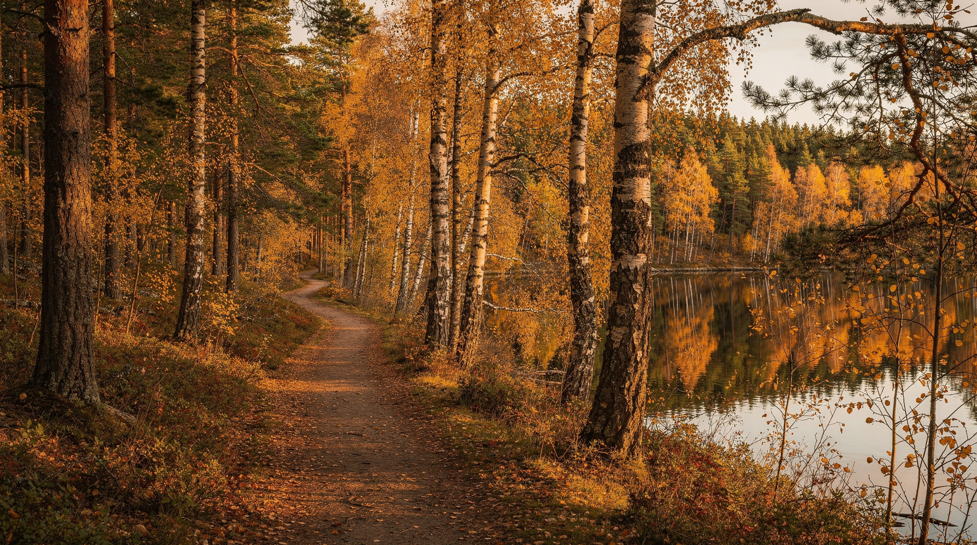
The trail follows a well-maintained path through mixed forest. In late October, the birch stands along the route were at their peak: the leaves a clear, sharp yellow against the dark green spruce backdrop. The carpet of fallen leaves on the forest floor, combined with the low morning light filtering through the canopy, produced an effect that I am not sure I can adequately describe in words.
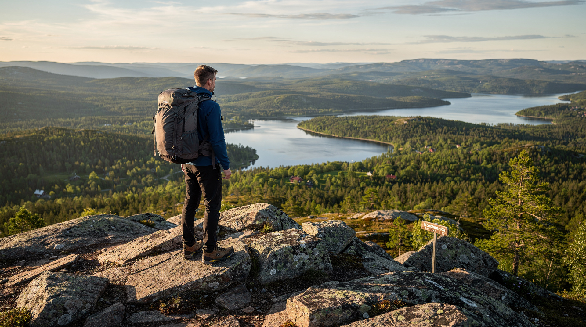
The summit of Vettakollen is open and rocky, with a large cairn and an orientation board. The view on our October afternoon was sharp: the city clearly visible below, the Oslofjord reflecting the low autumn sky, the islands of the inner archipelago tiny in the middle distance.
For the detailed trail description with distances and elevation, the Vettakollen hike guide has everything you need. The broader Nordmarka hiking guide covers the range of routes from short loops accessible to families with children to multi-hour traverses for experienced hikers.
The lakes: Sognsvann and beyond
Nordmarka’s trail network includes dozens of lakes, many accessible from the T-bane and easy to combine with a forest walk. Sognsvann, at the terminus of T-bane line 5, is the most popular: a large lake with a 3.5-kilometre circumference trail, a swimming beach (used until water temperature drops to single digits in autumn), and a café.
In October the Sognsvann lake circuit is beautiful and quiet. The summer crowds are long gone and the birch trees around the lake shore are a display of yellow against grey water. The circuit takes about 50 minutes at a comfortable pace.
From Sognsvann, trails continue deeper into Nordmarka — northward toward Maridalsvann lake and beyond. These deeper trails require more planning and longer time commitments, but they access the quieter parts of the forest where you can walk for two or three hours without seeing another person.
The Sognsvann guide has the lake circuit details and current café information.
Practical notes for October hiking
Weather variability: October in Oslo can range from warm and clear (12 to 15°C) to cold and wet (2 to 6°C with rain) within the same week. Norwegian autumn weather is unpredictable. Waterproof outer layers are essential, not optional.
Trail surfaces: Nordmarka trails are well-maintained but many involve tree roots and uneven terrain. In October after rain, they can be muddy. Proper walking shoes or light hiking boots are significantly more comfortable than trainers.
Daylight: in mid-October, Oslo has about 11 hours of daylight. Sunrise is around 7:30am, sunset around 6:30pm. Plan to be off the open ridges and back on clear trails well before sunset; the forest is very dark after the light goes.
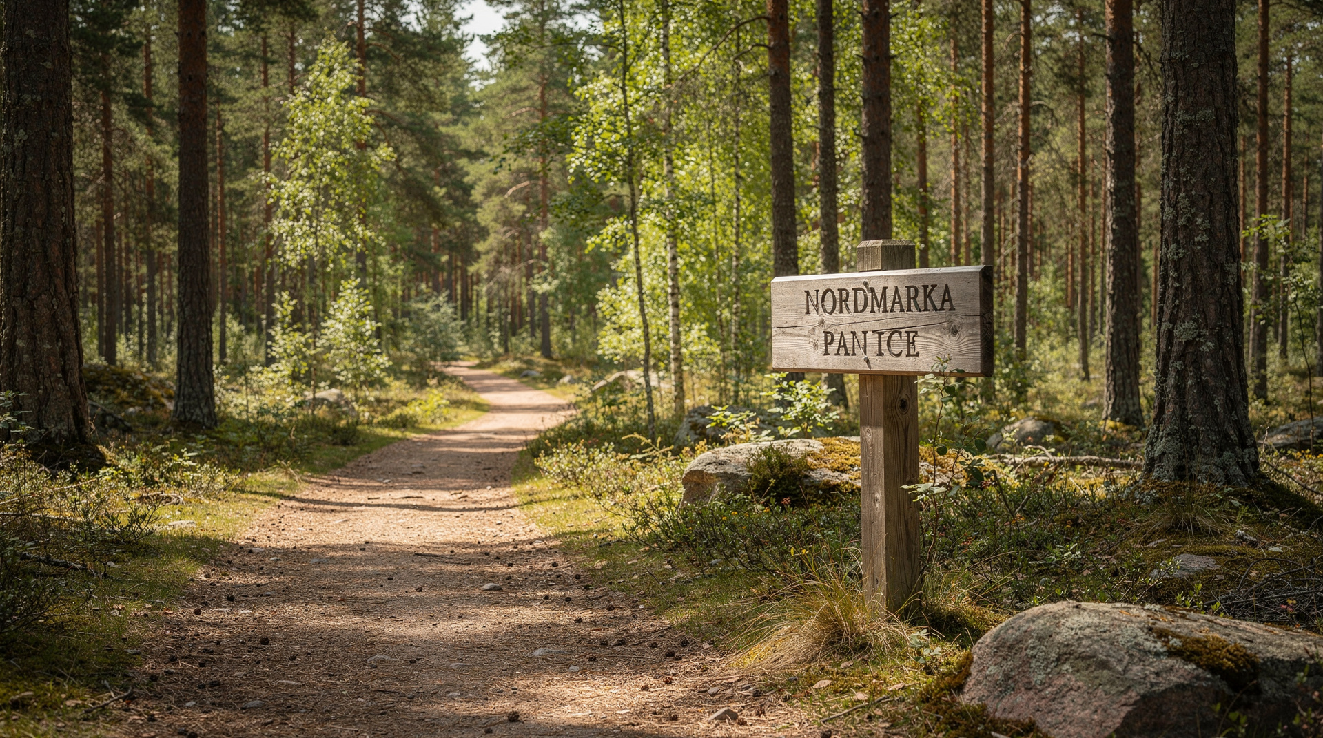
Trail marking: the main trails in Nordmarka are marked with painted cairns (red dots on rocks and trees) in Norwegian style. The Frognerseteren station area has good information boards with trail maps. The DNT (Den Norske Turistforening, the Norwegian trekking association) app provides offline trail maps for Nordmarka and is worth downloading before the trip.
What to bring: water (Nordmarka has clean streams but purification is advisable), food for a full day (the forest cafés are limited in October), layers, and something waterproof. Poles are useful on the rocky sections if you have them.
The best combination itinerary
The day that worked best for us: T-bane to Frognerseteren, Vettakollen round trip with lunch on the summit (packed lunch, no facilities on the ridge), return to Frognerseteren for coffee and cake at the restaurant terrace in the afternoon light, T-bane back to the city in time for dinner in Grünerløkka.
Total cost: NOK 115 for the day pass, NOK 160 for a coffee and cake at Frognerseteren, and whatever the packed lunch cost. An October day in one of Europe’s great urban forests for less than NOK 300 (USD 32).
For a full autumn Oslo trip plan that combines Nordmarka with the city’s other autumn highlights, the Oslo in autumn guide builds the complete seasonal picture.
If Vettakollen feels busy
Vettakollen is popular enough on a clear October Saturday that the summit can have a dozen people on it at once — still quiet by international standards, but worth knowing. If you want more solitude, the Kolsåstoppen hike on the western side of the city gets a fraction of the traffic and has similarly good autumn views over the Oslofjord. The forest-to-fjord walk is another good alternative if you want a route that ends somewhere other than back at a T-bane station. Either works well alongside our broader best Oslo hikes guide, which ranks the full set by difficulty and view quality.
Light and daylight planning
October daylight shrinks fast — by the last week of the month you have noticeably less light than the third week. Because the golden light quality that makes autumn photography special depends on the sun sitting low in the sky, timing your hike for midday rather than early morning actually works in your favour here, unlike in summer. Our daylight hours by season guide has month-by-month sunrise and sunset times if you are planning a hike around specific light.
Doing it for free
Beyond the transit fare, a Nordmarka autumn day costs almost nothing — the trails, viewpoints, and lakes are free, and a packed lunch beats the (good but pricey) Frognerseteren restaurant if you are budget-conscious. It is one of the better entries on our free things to do in Oslo list, and arguably the single best free half-day in the city during the second half of October.
Top experiences
Bookable activities with verified prices and instant confirmation on GetYourGuide.