Nordmarka hiking — Oslo's great forest explained
From Oslo: Nordmarka forest 6.5-hour guided walk
Duration: 6.5 hours
- Nordmarka forest
- Full day
How do you access Nordmarka hiking trails from Oslo?
T-bane line 1 to Frognerseteren or Vettakollen, and line 3 to Sognsvann are the main gateways. Sognsvann station puts you at the lake in 20 minutes from Nationaltheatret; Frognerseteren opens trails north into the forest's deepest section. No car needed.
The forest at Oslo’s back door
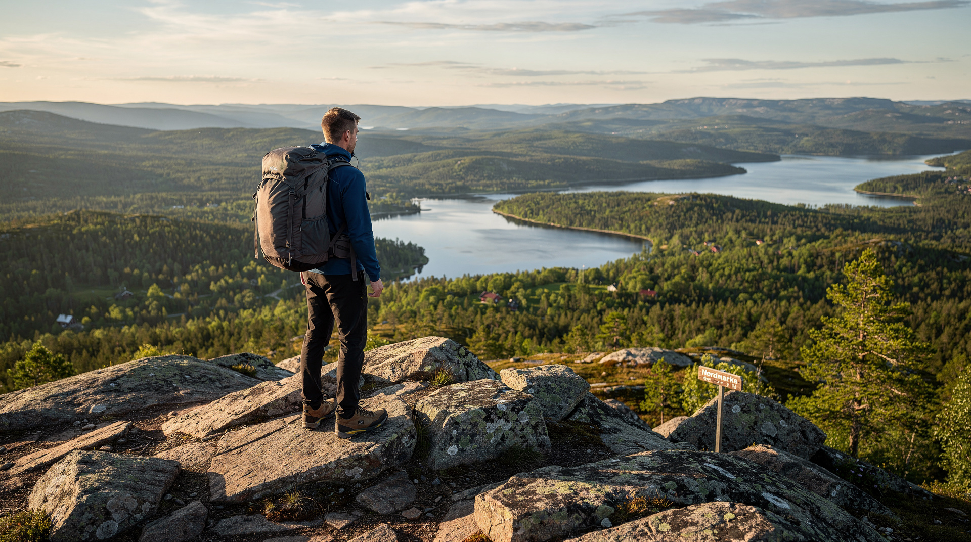
Oslo’s topography is unusual among European capitals in a specific and significant way: the city has legally protected wilderness on three sides. To the east, Østmarka stretches toward the Swedish border. To the west, Vestmarka rolls toward Bærum. But Nordmarka — the northern and largest section of the marka — is the one that has shaped Oslo’s identity. It appears in Norwegian children’s literature. It features in national skiing folklore. And every day of the year, thousands of Norwegians disappear into it via T-bane and return a few hours later, muddy and satisfied.
| Where | North of Holmenkollen ridge, reached by T-bane lines 1 and 3 |
| Cost | Free trails; T-bane ticket around NOK 40–80 |
| Time needed | Half-day (3 hrs) to multi-day |
| Getting there | Sognsvann (line 3) or Frognerseteren/Vettakollen (line 1) |
| Best time | June–September for hiking; December–March for skiing |
This guide explains Nordmarka’s geography, how to access it, which trails are worth your time, where to eat and sleep in the forest, and how the hiking season changes month by month.
Understanding Nordmarka’s geography
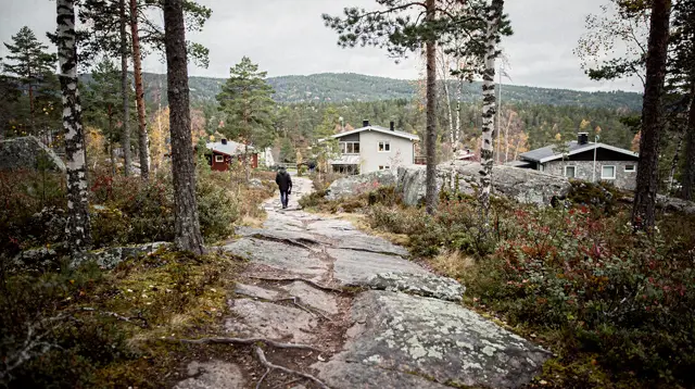
The forest begins immediately north of the Holmenkollen ridge — which is itself accessible by T-bane line 1. The boundary between Oslo suburb and Nordmarka nature reserve is physically abrupt: one moment you are walking past detached houses with gardens; the next the road ends and a DNT sign points into unbroken forest.
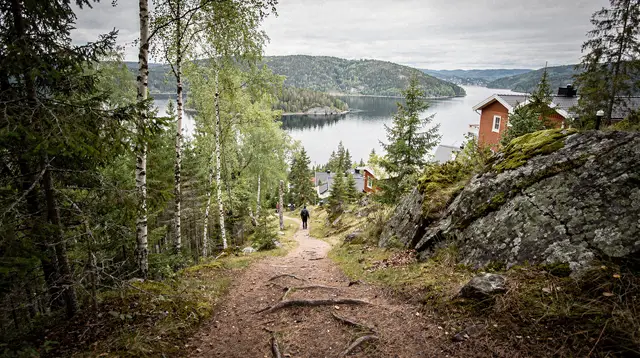
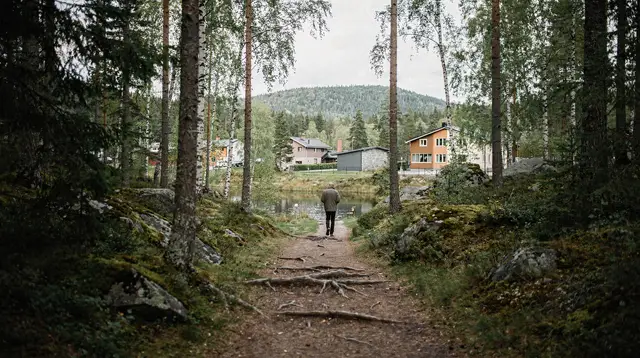
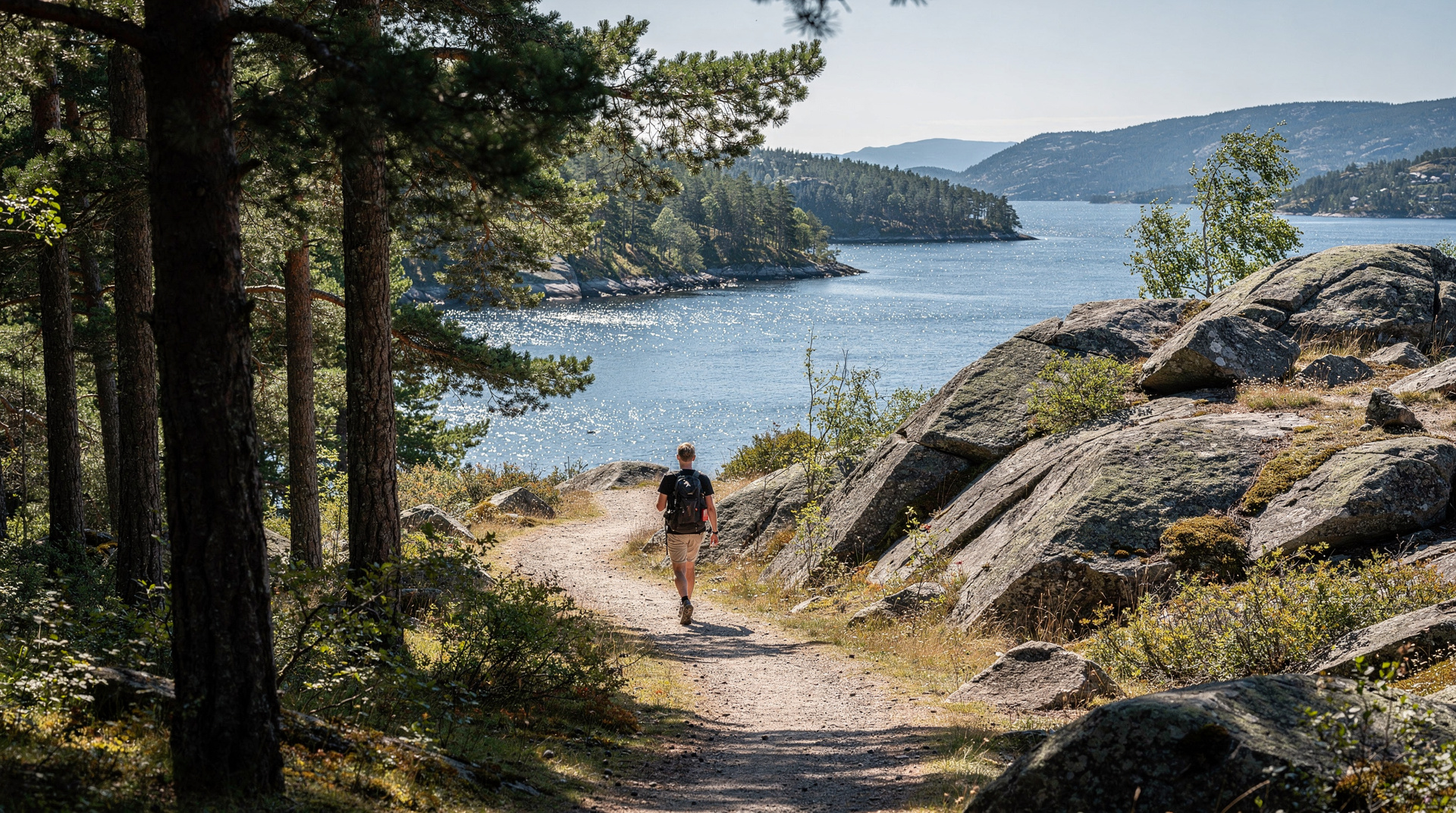
The terrain is low to medium altitude by Norwegian standards — most of Nordmarka sits between 300 and 700 metres above sea level. The dominant features are rounded ridges, dark spruce forest on north-facing slopes, open birch on the ridges, and a network of lakes (vannet) connected by streams. The largest, Maridalsvannet, is Oslo’s primary drinking water reservoir and swimming is prohibited in it, but the shores are open for walking.
Three T-bane stations serve as practical gateways:
- Sognsvann (line 3, end of line) — the most popular entry point, opening to the lake circuit and trails north.
- Vettakollen (line 1) — summit access and the trail network east of the main Nordmarka ridge; see our Vettakollen hike guide.
- Frognerseteren (line 1, end of line) — the deepest T-bane penetration into the forest, starting point for longer trails to Ullevålseter and Kikutstua.
Key trails and routes
Sognsvann lake circuit (4 km, easy)
The paved path around Sognsvann lake is Oslo’s most-walked outdoor route. It is flat, 4 km in circumference, and appropriate for all ages and fitness levels. The lake has a beach at the southern end with a small café kiosk (summer only). This is not a hike in the conventional sense — it is Oslo’s public living room — but it is a legitimate introduction to the forest.
Sognsvann to Ullevålseter (7 km one way, moderate)
From the northern end of Sognsvann lake, blue-T marked trails head north-west through spruce forest to the DNT cabin at Ullevålseter. The path gains roughly 200 metres of elevation gradually over 7 km — quiet, directional, and largely tree-covered. Ullevålseter serves waffles, coffee, and sour cream porridge. In summer, returning by a slightly different track east of the outward route creates a 14-km loop.
Frognerseteren to Kikutstua (4.5 km one way, moderate)
This is the most-used deep-forest trail from the T-bane. From Frognerseteren station, the marked path climbs a little before levelling through the spruce plateau toward Kikutstua cabin — open year-round, busy at weekends. Kikutstua also rents cross-country skis in winter, making it a natural hub. The return via Ullevålseter creates a classic Nordmarka triangle of roughly 18 km — achievable for fit walkers in one long day.
Bogstad Manor to Sognsvann (8 km, easy)
The western access point via bus 41 from Majorstuen deposits you near the historic Bogstad estate. The trail from Bogstad northward through the beech and oak of the estate grounds, then into Nordmarka proper, is one of the quieter entry corridors. For detail on the Bogstad Manor section, see our ranked hike guide.
Long-range routes (15–25 km, challenging)
For experienced hikers, Nordmarka opens into genuinely remote territory. Trails connect to the Ringeriket lowlands to the north, to the Krokskogen plateau to the west, and to Maridalen valley to the east. These routes require Ut.no offline maps, a full day’s food and water, and realistic turnaround planning.
The DNT cabin network
Norway’s hiking club (Den Norske Turistforening) maintains a network of cabins across Nordmarka. The key ones near Oslo:
Ullevålseter — 7 km from Sognsvann, manned year-round. Serves waffles (NOK 85, USD 9), coffee (NOK 45, USD 5), and a daily hot dish for roughly NOK 180 (USD 19). No overnight sleeping (day-use cabin only). Popular with families on weekends. The large log building dates from the early 20th century.
Kikutstua — 4.5 km from Frognerseteren, manned year-round. Similar menu to Ullevålseter plus ski rental (NOK 250/day including poles, about USD 27). Can be busy on winter weekends — arrive before 12:00 to find seating.
Sandungen — unmanned overnight hut, 15 km from Sognsvann. Accessible with a DNT key (purchased with membership). Basic facilities: wood stove, bunks, no running water.
Finnerud — unmanned overnight hut, further north. For experienced Nordmarka walkers building multi-day routes.
DNT membership for adults: NOK 750/year (USD 81). Junior/student rates available. The membership includes free map downloads at 1:50,000 scale and access to all unmanned huts.
Wildlife in Nordmarka
The forest is not a zoo, but patient walkers will almost certainly see something. Elk (elg, the large Scandinavian moose) are abundant — Nordmarka’s herd is estimated in the hundreds. You are most likely to encounter them in early morning or at dusk, at forest edges near lakes. They are large (bulls can weigh 500 kg) and will generally move away from humans; do not approach calves.
Red deer have colonised the southern Nordmarka in recent decades. Foxes are common and in winter will sometimes approach cabin terraces for scraps. The bird life is rich: black woodpeckers drum in old-growth spruce, crossbills work the conifer tops, and in autumn the nocturnal tawny owl announces itself from ridge timber at dusk.
Wolves are present in Nordmarka’s deeper eastern reaches — sightings near Oslo are rare, but tracks have been reported in the Maridalen valley in winter. There is nothing to be concerned about; encountering a wolf requires both luck and a very long walk.
Nordmarka through the seasons
May–June: The forest wakes up fast. Wood anemone and wild garlic carpet the floor in May; birch leaves open in early May at lake level, late May on the ridges. Trails are muddy through May and firm by June. Light extends until nearly 23:00 in midsummer — evening hikes are extraordinary.
July–August: Peak season. Lake swimming (Sognsvann, various smaller lakes) is at its best. The forest canopy is dense and green. Daytime temperatures can reach 24–28°C on south-facing slopes, but the tree cover keeps most trail sections comfortable.
September–October: Autumn colour begins on the birches in mid-September and peaks around the first week of October at higher elevations. This is the most visually dramatic season and the period with the best light for photography.
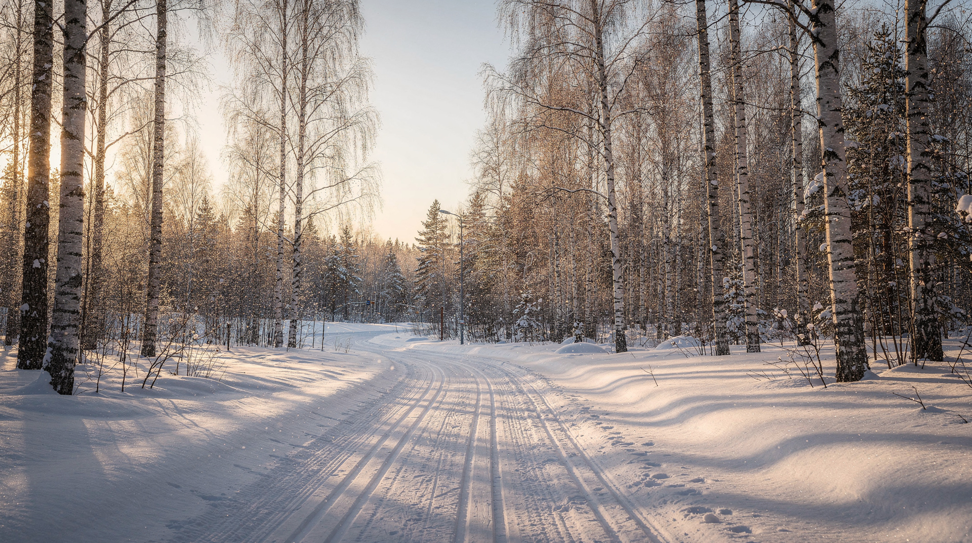
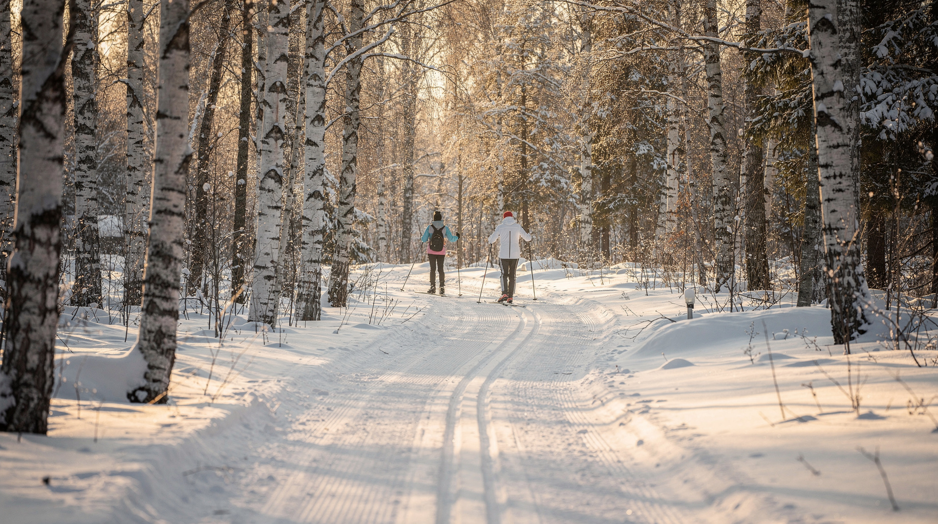
November–February: Snow arrives typically in late November. By December, Nordmarka’s trail network converts to a groomed cross-country ski corridor — Norway’s national religion in action. As a hiker you are still welcome but must respect ski tracks (walk beside them, not on them) and be aware that unmarked forest paths may be invisible under snow. See our cross-country skiing guide for the winter version of this same landscape.
March–April: Snow lingers on north-facing slopes and in the forest interior. The ski season runs until late March in most years. April is a transition month — the first hikers return, the last skiers trudge home, and the birch buds are just beginning to swell.
Practical tips for your Nordmarka visit
Maps: Ut.no is the standard, free, and offline-capable. The 1:50,000 Nordmarka hiking map is also available in DNT’s Oslo office (NOK 150, about USD 16) if you prefer paper.
Water: The forest has many small streams. Water is generally clean but carry your own supply for day hikes of under 10 km. For longer routes, purification tablets or a filter are wise.
Phone signal: Reasonable on the ridges near Oslo, unreliable in deep valley sections. Download offline maps before you go.
Ticks: Present in the lower forest zone (up to about 500 m) from April to October. Check arms and legs after forest hiking. Tick-borne encephalitis (TBE) vaccination is available and recommended for frequent hikers.
Emergency services: Norway’s emergency number is 112. The Redningsselskapet (mountain rescue) coordinates search and rescue in Nordmarka. Register your route on Ut.no’s “register a hike” feature if heading deep into the forest alone.
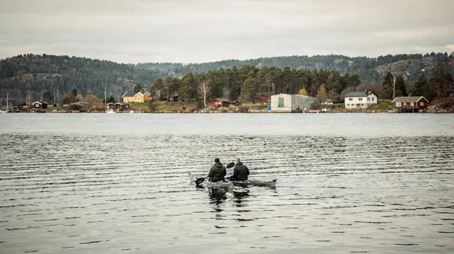
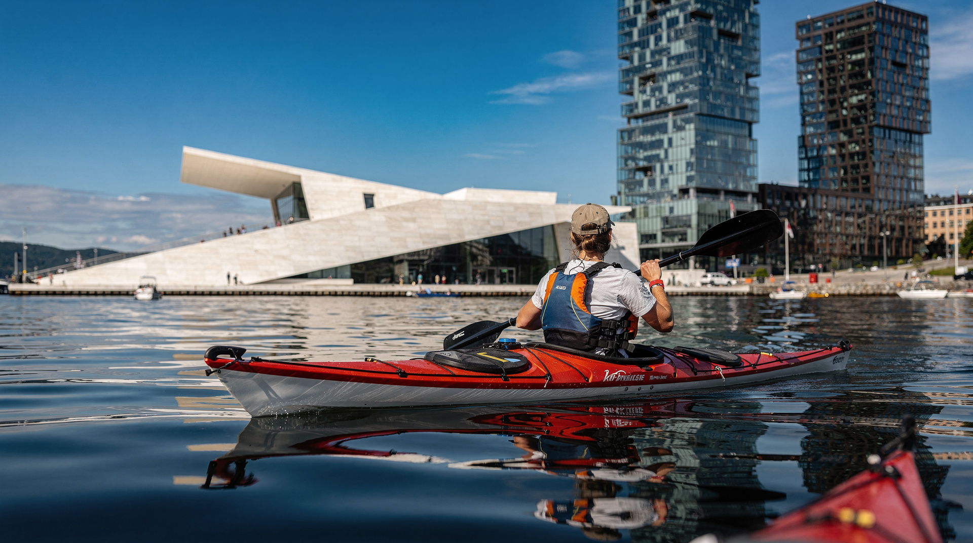
For a guided introduction to Nordmarka’s trail network, our primary tour handles the navigation so you can focus on the landscape. Pair the forest experience with a paddle on the Oslofjord or a SUP session on the harbour for a complete Oslo outdoor day.
Friluftsliv — the philosophical foundation
To understand why Nordmarka matters so much to Oslo, it helps to understand the Norwegian concept of friluftsliv (literally “free air life”). This is not a tourism marketing slogan. It is a deeply embedded cultural value — the idea that regular access to nature is essential for human wellbeing, and that this access should be free, uncurated, and available to everyone regardless of economic status.
The Norwegian Outdoor Recreation Act (Friluftsloven) of 1957 enshrines the right of everyone to pass through and stay on uncultivated land, pitch a tent for two nights, and swim in any lake or sea — all without the landowner’s permission. In Nordmarka, every trail, every ridge, every lake shore is accessible to everyone. This is why you will find Oslo families with toddlers, lone elderly hikers, corporate team outings, and competitive orienteering clubs all sharing the same trail system without any sense of conflict. The forest belongs to everyone.
Navigating Nordmarka’s trail hierarchy
Nordmarka’s trail system has three layers of infrastructure:
Main marked trails (blue-T): The blue-T (blåmerket) system maintained by Skiforeningen (the Oslo Ski and Hiking Association) marks the primary through-routes. These are well-maintained, reliably marked, and shown on Ut.no with names and numbers. These are the trails described in this guide.
Secondary forest paths (skogsveier): Gravel tracks and vehicle roads that cross Nordmarka for forestry and maintenance access. These are often easier walking than the marked trails but less scenic. Good for returning on a loop without backtracking.
Unmarked paths: The forest has thousands of informal paths worn by regular use. These appear on Ut.no satellite imagery but are not reliably marked. Best avoided by visitors unfamiliar with Nordmarka; easy to follow in good weather, disorienting in fog.
Multi-day hiking in Nordmarka
Nordmarka supports genuine multi-day hiking for those who want to go deeper. The backbone route from Oslo north to the Ringeriket lowlands takes 2–3 days on foot and links several DNT huts. This is less well-known than Norway’s famous long-distance routes (the Besseggen ridge, the Hardangervidda traverse) but has its own quiet appeal — the forest is deep, the huts are authentic, and the route can be ended at any point by walking to the nearest road.
A practical 2-day Nordmarka itinerary: Day 1 — Frognerseteren to Kikutstua cabin for lunch, continue north to Sandungen hut (unmanned overnight, bring DNT key or arrange advance booking). Day 2 — Sandungen northwest to the Ringeriket lowlands, return by local transport to Oslo, or retrace south to Ullevålseter and T-bane. Total distance: 35–45 km depending on route variants.
For visitors with only one day, the Frognerseteren–Kikutstua–Ullevålseter loop (18 km, 4–5 hours) remains the definitive single-day Nordmarka experience.
Oslo’s eastern forest: Østmarka
While Nordmarka gets most of the visitor attention, the forest to Oslo’s east — Østmarka — is worth knowing about for travellers spending several days. Østmarka is more accessible from eastern Oslo neighbourhoods (T-bane line 3 to Østensjø area) and has a different character: slightly lower relief, more lake country, fewer marked trails, and considerably fewer visitors.
For those staying in Grønland or Tøyen, Østmarka is the closest forest access. It is not Nordmarka in scale or trail quality, but on a weekday afternoon it offers genuine forest solitude within 30 minutes of Grønland T-bane station.
Maridalen — the river valley approach
Maridalen, the valley north of Oslo containing the drinking water reservoir Maridalsvannet, is a third outdoor corridor that combines forest, agricultural heritage, and the Akerselva river’s source landscape. The valley is reached by bus from Storo (T-bane line 4/5) and has marked walking routes along the lakeside and through the heritage farmsteads.
Swimming in Maridalsvannet is prohibited (it is Oslo’s primary water supply), but the paths around it are fully open and the valley floor is green and pleasant. In May, the Maridalen valley has some of the densest wildflower coverage near Oslo — a secondary destination worth combining with a Grefsenkollen ridge hike from the Kjelsås end.
What to eat on the trail
Norwegians on long hikes carry a specific food culture that is worth adopting:
Matpakke (packed lunch): The standard Norwegian packed lunch is an insulated bag containing open sandwiches wrapped in paper, often dark rye bread (rugbrød) with cheese (Jarlsberg or Norvegia) or a protein topping. This is available from every Oslo supermarket deli counter for NOK 30–50 (USD 3–5) per sandwich.
Saft og kjeks (squash and crackers): Small packets of high-energy crackers with a drink of concentrated fruit squash diluted in a water bottle. The classic Norwegian trail snack.
At the cabins: Ullevålseter and Kikutstua both serve waffles with jam and sour cream (vafler med syltetøy og rømme) — a Norwegian institution. Hot chocolate (varm kakao) is NOK 40–50 (USD 4–5). These cabins sustain thousands of hikers per weekend; the kitchen infrastructure is industrial despite the cosy wooden interior. Do not be shy about showing up without cash — card is accepted at both.
Nordmarka’s environmental significance
The Nordmarka forest provides ecological services beyond its recreational value. The watershed that feeds Oslo’s primary drinking water reservoir (Maridalsvannet) lies within the protected forest zone. The city’s water quality directly depends on the integrity of the forest ecosystem — runoff filtered through forest soil is cleaner than runoff from developed or agricultural land.
The marka protection legislation, which prevents building within the forest zone, is therefore not merely a recreation policy but an environmental one. When you hike or ski in Nordmarka, you are moving through a functional ecosystem that is simultaneously a recreation space, a wildlife corridor, a water filtration system, and a carbon sink. The density of use — tens of thousands of visitors per week in summer — is managed by the quality and distribution of the trail network, which channels human movement and leaves the vast majority of the forest undisturbed.
Getting the most from a limited time
If you have only half a day for Nordmarka, the most efficient combination is: T-bane line 3 to Sognsvann (20 minutes from Nationaltheatret), walk the 4 km lake circuit (1.5 hours), head north on the T5 trail for 30 minutes to the ridge above the lake (good forest views), return. Total: 3 hours on the ground, 40 minutes transport each way. You will have walked roughly 8 km through genuine Norwegian forest and seen a lake, a ridge, and the characteristic alternation of spruce forest and birch clearings.
For a full day, replace the lake circuit with the Sognsvann–Ullevålseter route (7 km, 90 minutes each way) for a DNT cabin stop. The round trip with a 45-minute cabin break is 5–6 hours of walking — a satisfying full outdoor day.
Guided vs self-guided: which suits you
Nordmarka is entirely walkable without a guide for anyone comfortable following marked blue-T trails and carrying an offline map, and the majority of visitors do exactly that. A guided walk earns its cost in a few specific situations: if you have limited time and want the most efficient route without research, if you want context on the forest’s ecology, wildlife, and friluftsliv culture that a self-guided visitor would miss, or if you’re visiting in winter and want reassurance on trail conditions and appropriate gear.
Our primary tour pairs a local guide with a route tailored to the season, which removes the navigation risk entirely for first-time visitors. For a fully independent visit, the Sognsvann and Frognerseteren gateways described above need nothing beyond the Ut.no app and a reasonable level of fitness.
Photographing Nordmarka
The forest rewards photographers willing to work with its subtler light rather than searching for dramatic peaks. Early morning at Sognsvann, when mist sits on the water and the light is low and gold, is the single best photographic window most visitors can reach easily. Autumn (late September to early October) turns the birch canopy yellow against dark spruce — a striking contrast that peaks for roughly two weeks and draws local photographers as much as the summer crowds draw swimmers.
Winter offers a different subject entirely: ski tracks curving through snow-laden trees, and the low midwinter sun casting long blue shadows across the trail network from Frognerseteren. Bring a lens hood and expect condensation on cold days moving between the T-bane’s warm carriages and the forest air.
Swimming stops along the way
Several Nordmarka lakes double as swimming spots for hikers cooling off mid-route. Sognsvann has the most accessible swimming, with a small beach at the southern end near the T-bane exit — busy on hot weekends, quieter on weekday mornings. Smaller lakes further into the forest, such as those near the Ullevålseter and Kikutstua routes, offer quieter and colder swimming for hikers who don’t mind a short detour off the main trail.
Maridalsvannet is the one lake where swimming is prohibited, since it supplies Oslo’s drinking water — admire it from the shore paths instead. Water temperatures peak at 15–20°C in July and August; nothing in Nordmarka approaches the warmth of the fjord swimming spots covered in the Oslo beaches guide, but the forest setting is its own reward.
Comparing Nordmarka’s main T-bane gateways
| Gateway | T-bane line | Character | Best for |
|---|---|---|---|
| Sognsvann | Line 3 | Flat lake circuit, easy | First-timers, families, a quick nature fix |
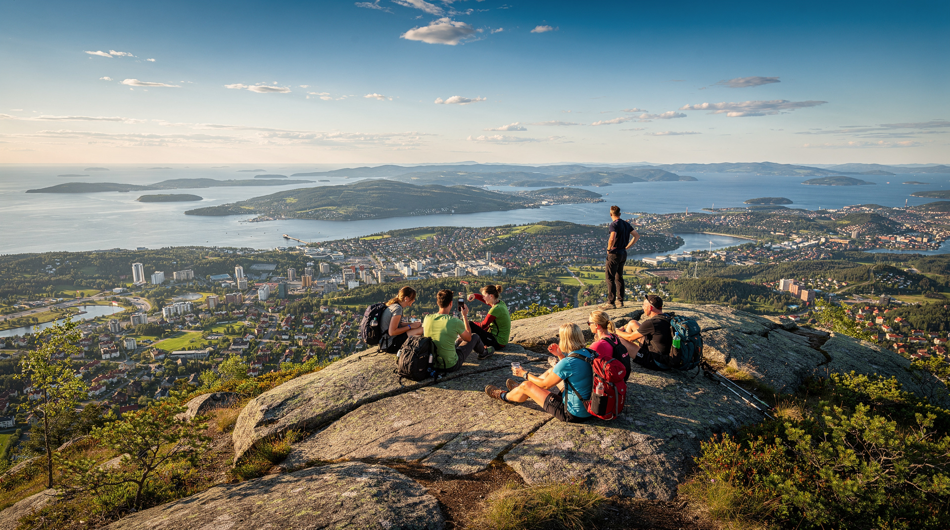
| Vettakollen | Line 1 | Summit views, ridge trails | Panoramic views without deep-forest commitment |
| Frognerseteren | Line 1 (end) | Deepest forest penetration | DNT cabin routes, longer day hikes |
Safety and navigation
Mobile phone: Download Ut.no offline maps for the Nordmarka area before you go. Mobile data coverage is reasonable near the T-bane stations but patchy in the deeper forest. The offline map is a simple precaution.
Lost hikers: The most common Nordmarka navigation error is missing a trail junction in low visibility and walking in the wrong direction for 30–45 minutes before noticing. This is not dangerous (the forest is not vast enough to become catastrophically lost) but is inconvenient. The rule is: if you are uncertain at a junction, consult the map before committing to a direction.
Weather changes: Summer afternoon thunderstorms are rare but occur in Oslo. If you see anvil cloud building to the west on a hot July afternoon, head toward the T-bane. Lightning in an open spruce forest is the main weather risk.
For the full picture of outdoor Oslo across all seasons, see our ranked Oslo hikes guide and our winter activities overview.
Frequently asked questions about Nordmarka hiking — Oslo's great forest explained
How large is Nordmarka?
The Nordmarka forest covers approximately 1,700 square kilometres of protected land north and north-east of Oslo. The marka border law prevents development; the forest is contiguous and, in the northern sections, genuinely remote — more than 20 km from the nearest metro station.Are there DNT cabins in Nordmarka?
Yes — several. The most accessible from Oslo are Ullevålseter (manned, open year-round, roughly 7 km from Sognsvann on foot) and Kikutstua (manned, 9 km from Frognerseteren). Both serve hot food and coffee. Sandungen and Finnerud are unmanned overnight huts accessible with a DNT key.Can you hike Nordmarka without a guide?
Yes, but the trail network is extensive and junctions are not always clearly signed in the deep forest. Download the Ut.no app with offline maps before setting out. Marked blue-T trails are reliable; unmarked tracks vary in quality.Is Nordmarka suitable for beginners?
The perimeter trails near Sognsvann and Bogstad are very easy. Deeper Nordmarka routes require basic navigation confidence, good footwear, and more than 2–3 hours of daylight buffer. Plan conservatively on your first visit.What wildlife might I see in Nordmarka?
Elk (moose) are common — seeing one is likely on a long hike. Red deer, foxes, and roe deer are also present. The forest holds lynx and wolf in its deeper reaches though sightings near Oslo are rare. Birds include golden eagle, eagle owl, and various woodpecker species.Is there any cost to hiking Nordmarka?
The trails themselves are free. T-bane access costs NOK 40–80 per single ticket (USD 4–9). DNT manned cabin food costs NOK 75–200 per item (USD 8–22). A DNT membership (NOK 750/year, USD 81) gives access to unmanned huts and map downloads.Can you swim in Nordmarka's lakes?
Yes, in most lakes — Sognsvann is the most popular and has a small beach at its southern end. Maridalsvannet is the exception: it's Oslo's drinking water reservoir and swimming is prohibited there. Water is swimmable roughly June through August; expect 15–20°C on a good summer day.What should beginners bring on a first Nordmarka hike?
Sturdy trainers or light hiking shoes (trail shoes if wet), a water bottle, a packed lunch or snacks, a light waterproof layer regardless of forecast, and the Ut.no app downloaded with offline maps. For routes beyond the Sognsvann perimeter, add a printed or offline map as backup and tell someone your planned route.
Top experiences
Bookable activities with verified prices and instant confirmation on GetYourGuide.