Best Oslo hikes reachable by tram and metro
Oslo summit: a scenic hiking adventure to Vettakollen
Duration: 3 hours
- Panoramic views
- Local guide
What are the best hikes in Oslo reachable by public transport?
Vettakollen (T-bane line 1 to Vettakollen), Kolsåstoppen (metro line 3), Nordmarka via Sognsvann (T-bane line 3), and the forest-to-fjord trail from Maridalen are the strongest options. All are under 45 minutes from central Oslo by Ruter.
Oslo’s great outdoors starts at the end of the metro line
Most European capitals push nature to the periphery. Oslo does the opposite. The city charter of 1947 enshrined the concept of the “marka border” — a legally protected ring of forest and hill that begins where the suburbs end and stretches, in places, 50 kilometres north and east. No new buildings may cross that line. The result is that a Ruter monthly pass gets you from your Airbnb breakfast table to a ridge with genuine fjord views in under 40 minutes, with no rental car, no parking fee, and no shuttle bus to navigate.
This guide ranks the best Oslo hikes by difficulty, views, and ease of access — with honest notes on what each trail actually delivers versus what Instagram suggests.
| Best overall | Vettakollen — 25 min metro + 15 min walk, near-360° views |
| Cost | Ruter single fare NOK 42 in-app, or 24hr ticket NOK 130 |
| Time needed | 1-2 hrs for Vettakollen; 4-6 hrs for the Nordmarka circuit |
| Getting there | T-bane lines 1 and 3, or bus 41/54 for the western trails |
| Best time | May-October; avoid summer weekends for solitude |
The ranking — seven hikes that genuinely deliver
1. Vettakollen (375 m) — best views per effort ratio
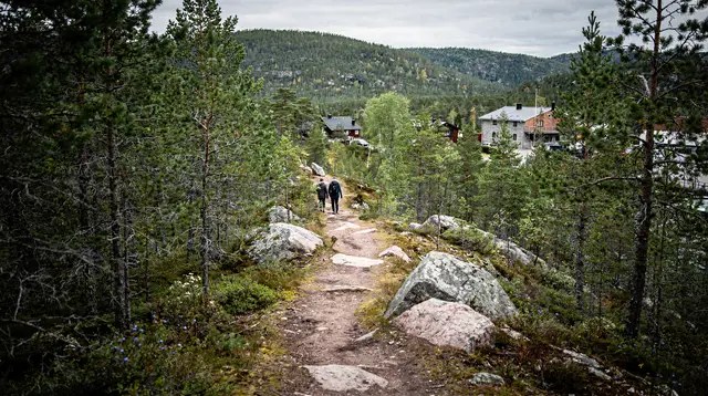
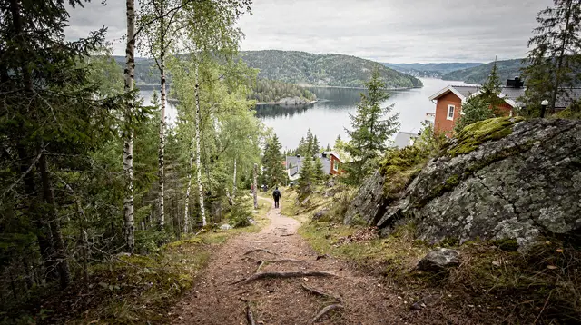
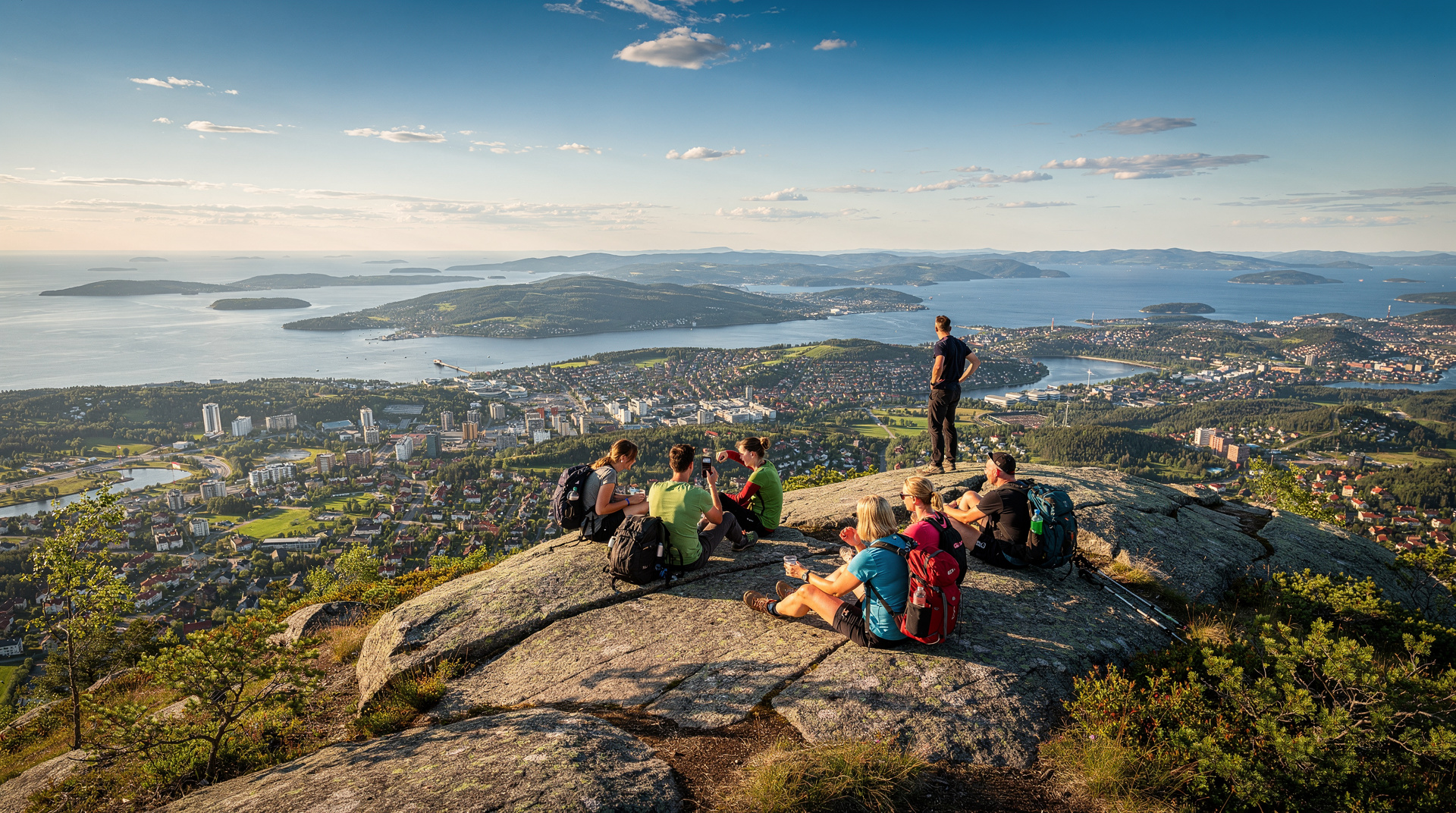
Metro line 1 to Vettakollen station, then 15 minutes on foot. The summit is a broad granite platform with a near-360-degree outlook. To the south, the Oslofjord opens between dark wooded ridges; to the north, Nordmarka stretches without visible road or rooftop. The ascent from the station is short but gains 120 metres on a clear path. Allow 1–2 hours total including summit time.
This is our top pick for first-time Oslo hikers. The access is foolproof, the views are the best near the city, and you can combine it with a swim at Sognsvann lake (10 minutes by metro back into town). For trail detail and extensions, read our Vettakollen hike guide.
2. Kolsåstoppen (383 m) — the western rim
T-bane line 3 to Kolsås, 45 minutes from Nationaltheatret, then 45 minutes on foot. Kolsåstoppen sits on Oslo’s western edge and is a favourite of western-suburb residents. The approach from Kolsås station is well worn and mostly in forest until the last rocky scramble to the top. The view south towards the fjord is excellent, and on a clear day you can pick out the islands of the Oslo archipelago.
The trail can be extended east to Ravnkollen or west along the ridge — easy half-day options for those who want more than a summit-and-back. See our dedicated Kolsåstoppen guide for trail options.
3. Sognsvann to Ullevålseter (loop, ~12 km)
T-bane line 3 to Sognsvann (end of line). The lakeshore path at Sognsvann is Oslo’s most popular outdoor corridor — flat, paved, and suitable for prams in summer. But the real hike begins when you leave the lake and head north through Nordmarka on trail T5/T6 to the DNT cabin at Ullevålseter (open year-round; waffles and coffee for roughly NOK 80, about USD 9). The return via a different forest track makes a proper 12-kilometre loop with 280 metres of elevation.
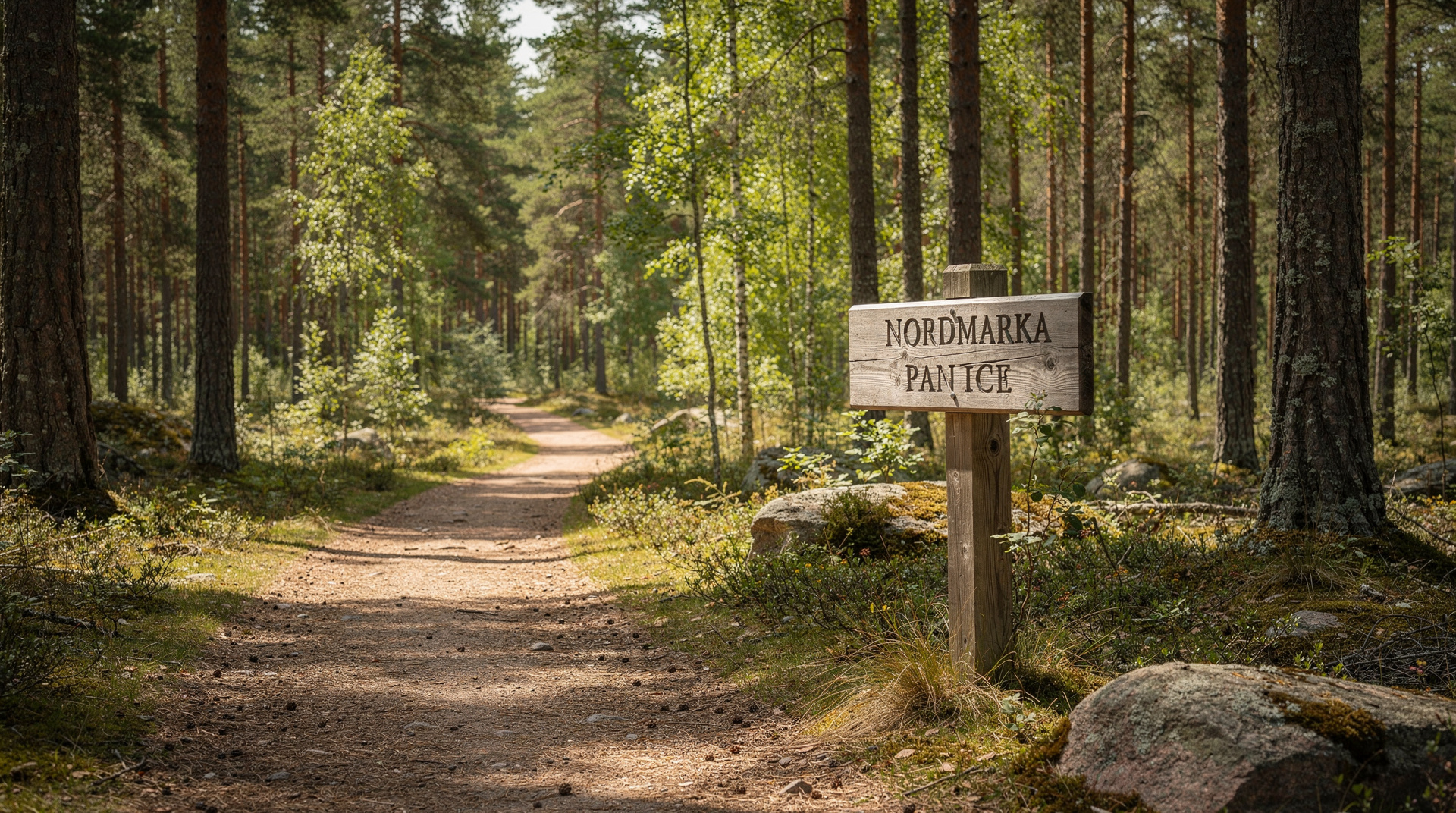
This is the best introduction to Nordmarka proper. For more on the forest system, see our Nordmarka hiking guide.
4. Forest-to-fjord nature walk — guided
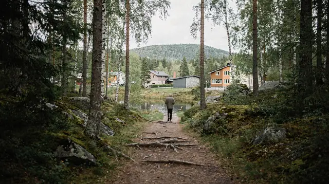
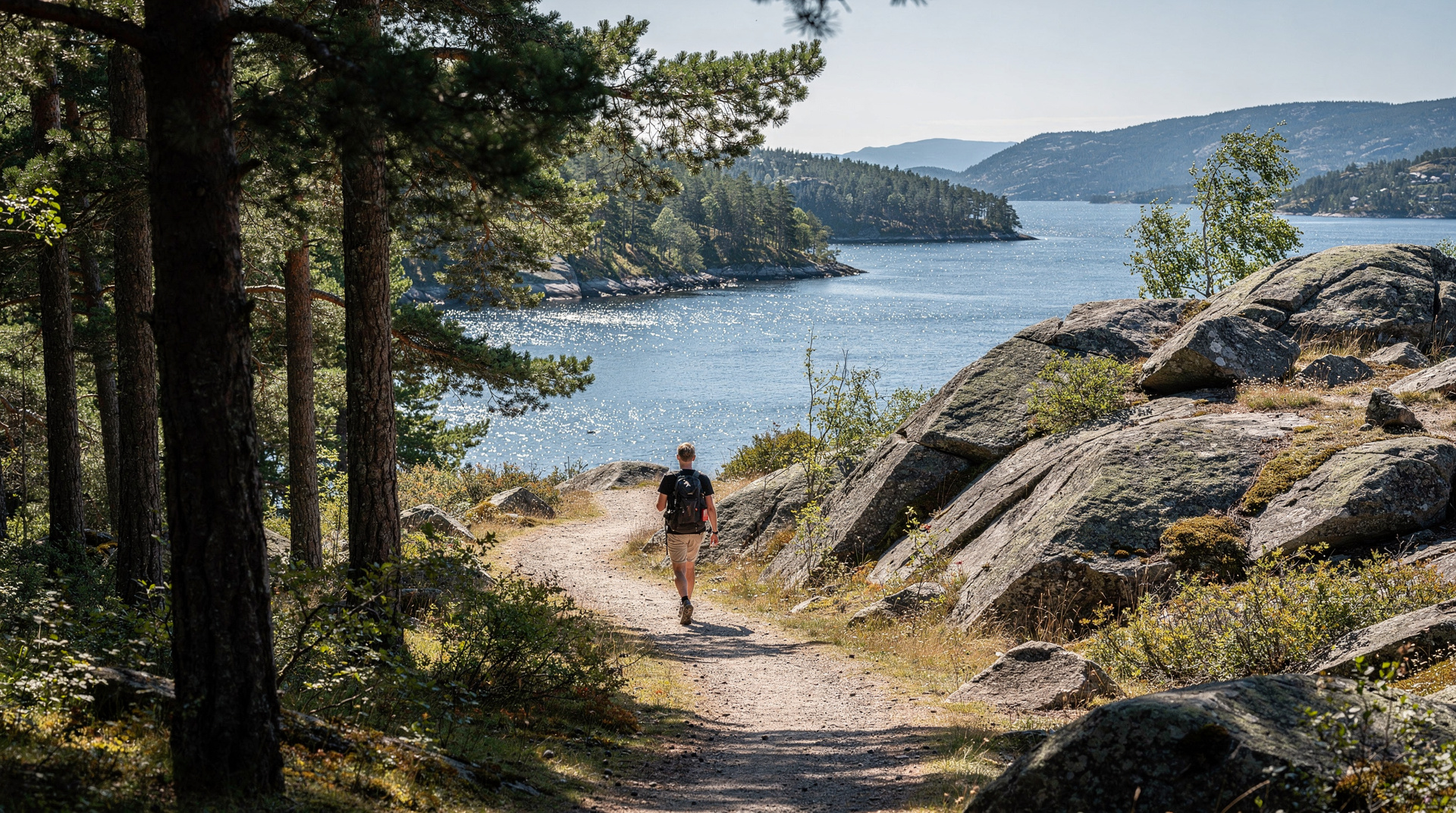
Guided walk departing central Oslo. If you prefer context over solitude, this guided walk takes a small group through forest, along ridges, and down to fjord viewpoints, combining ecological commentary with the landscape. It is the best option for solo travellers wanting company, or anyone who finds Oslo’s unmarked forest paths intimidating. Full details in our forest-to-fjord walk guide.
5. Grefsenkollen (379 m) — least crowded summit
Bus 54 from Storo (T-bane line 4/5) towards Grefsenkollen, or a longer walk from Kjelsås. Grefsenkollen has a restaurant/café at the top with the best terrace views in Oslo — arguably better than Holmenkollen. It sits on the eastern side of the Akerselva valley, less visited than Vettakollen and Kolsåstoppen because it lacks a direct metro stop. That relative obscurity is exactly the appeal.
The walk from Kjelsås metro station (T-bane line 4) takes about 55 minutes on a well-marked trail. In summer, the café serves hot food; in winter, it operates on reduced hours — check the Grefsenkollen restaurant website before setting out.
6. Bogstad Manor loop (~8 km)
Bus 41 from Majorstuen to Bogstad. This gentle circular trail around the Bogstad estate and lake combines history — the 18th-century Bogstad Manor is one of Oslo’s best-preserved noble estates — with easy forest walking. No significant elevation gain. The trail is well surfaced and suitable for trail runners or those recovering from injury. Good for families with older children. Winter use is heavy (cross-country ski tracks are groomed here).
7. Nordmarka panoramic lakes and forests circuit
T-bane line 3 to Frognerseteren or Holmenkollen, then marked trails north. This longer route links several Nordmarka lakes — Bjørnsjøen, Sandungsvannet — on trails that can be combined for a 16–22 km day. Elevation is modest (cumulative climb of roughly 400 m) but the sheer length requires planning. Carry a packed lunch; the nearest open cabin is Ullevålseter or Kikutstua (both DNT-affiliated).
Comparing the hikes at a glance
| Hike | Distance (RT) | Elevation gain | T-bane stop | Difficulty |
|---|---|---|---|---|
| Vettakollen | 5 km | 120 m | Vettakollen (line 1) | Easy |
| Kolsåstoppen | 7 km | 200 m | Kolsås (line 3) | Moderate |
| Sognsvann–Ullevålseter loop | 12 km | 280 m | Sognsvann (line 3) | Moderate |
| Grefsenkollen | 6 km | 250 m | Kjelsås (line 4) | Moderate |
| Bogstad Manor loop | 8 km | 80 m | (bus 41) | Easy |
| Nordmarka panoramic circuit | 18–22 km | 400 m | Frognerseteren (line 1) | Challenging |
All distances and elevation figures are approximate based on standard trail routing.
Practical logistics for all hikes
Getting around on Ruter. A single Ruter ticket costs NOK 42 (USD 4.50) if bought in the Ruter app before boarding, or NOK 80 (USD 8.60) on board. A 24-hour tourist ticket costs NOK 130 (USD 14). The T-bane line 1 heads to Frognerseteren and Vettakollen — the most useful line for outdoor recreation. Full transport information is in our Ruter public transport guide.
Maps. Ut.no (web and app) is the authoritative Norwegian hiking map. Download the relevant area offline before you go. Paper maps are available at DNT’s Oslo office on Youngstorget (open weekdays, NOK 120–150 per map sheet, approximately USD 13–16).
Gear. Oslo hiking requires nothing technical. Waterproof layer and trail shoes are adequate for all routes above. In winter, add poles and crampons for icy paths to Vettakollen and Kolsåstoppen. In summer, sunscreen and 1.5 litres of water per person covers most half-day routes.
DNT (Norwegian Trekking Association). A single-year adult membership costs NOK 750 (USD 81) and gives access to unmanned huts (låste hytter) across Norway. For day hikes around Oslo it is not essential, but the membership includes free map downloads and discounts at DNT manned cabins.
What to expect at DNT cabins
Several Nordmarka hikes pass or end at DNT-affiliated cabins. Ullevålseter and Kikutstua are both manned year-round and serve waffles, coffee, and simple hot food. Prices are low by Oslo standards — NOK 75–120 for a meal (USD 8–13). Kikutstua has ski rental in winter. You do not need a DNT membership to enter manned cabins; you pay the walk-in price. The cabins are marked on Ut.no.
Combining hikes with other Oslo activities
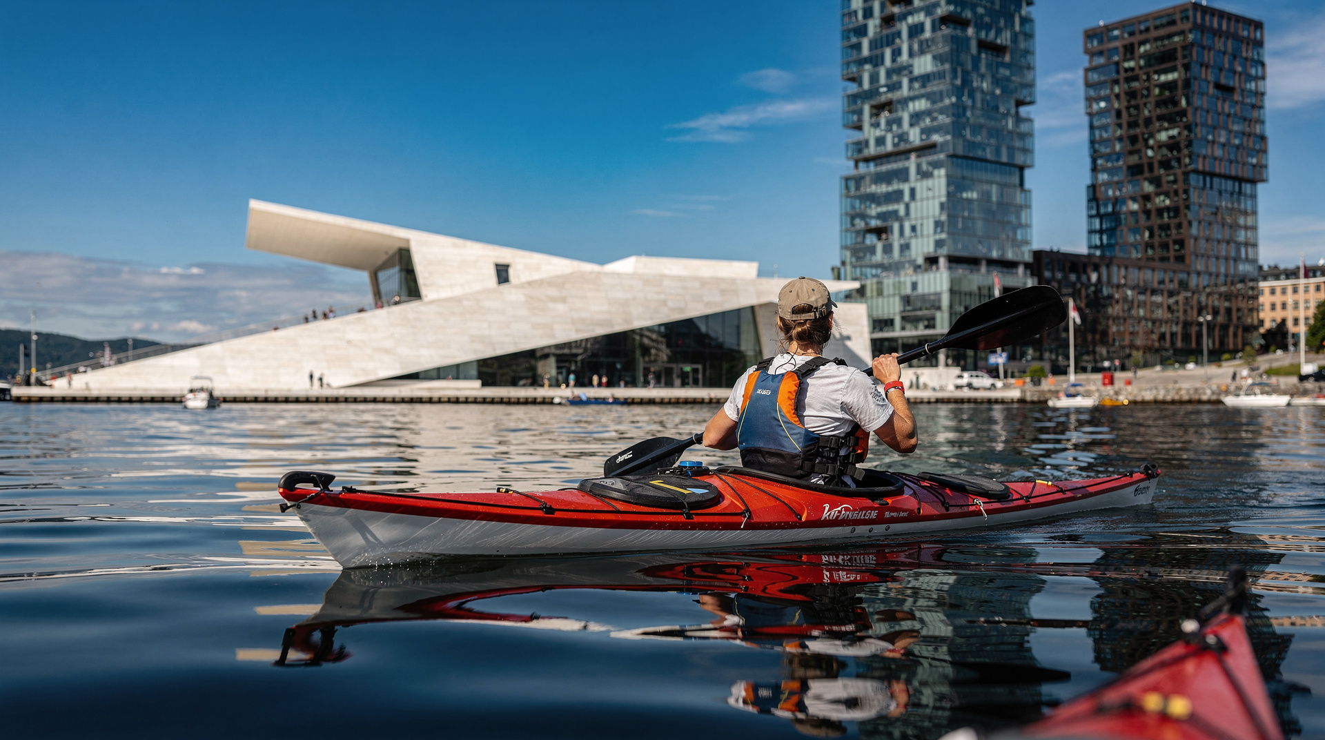
A morning hike followed by an afternoon on the water makes a natural Oslo day. From Sognsvann you can be back in central Oslo in 20 minutes on the T-bane, then walk to kayak on the Oslofjord from Sørenga or Tjuvholmen. In summer, stand-up paddleboarding the harbour is another popular post-hike option.
For a structured multi-day outdoor programme, our active outdoors 3-day itinerary combines Vettakollen, Nordmarka, and fjord paddling into one balanced schedule. Winter visitors should check our winter activities overview for cross-country skiing, snowshoeing, and the Korketrekkeren toboggan run on the same trail network.
A note on summer crowds and etiquette
Vettakollen and Sognsvann are genuinely busy on summer weekends. The summit platform at Vettakollen holds perhaps 30 people comfortably; on a sunny Saturday in July you may arrive to find 80. If solitude matters, go early (before 09:00) or choose Grefsenkollen, which is consistently quieter.
Trail etiquette in Norway is relaxed. Dogs are common on all trails (keep them on leads in spring, when ground-nesting birds are active). No littering — pack-it-in, pack-it-out is the norm. Smoking is frowned upon in forest areas.
Seasonal guide to Oslo hiking
Spring (April–May): The forest awakens abruptly after a Norwegian winter. Wood anemones blanket the forest floor from late April; birch leaves unfurl on lower slopes in early May and on ridges by the third week. Trails are muddy through April but usually firm by mid-May. Snowpack can linger on north-facing slopes at ridge level until late April — take poles and watch for ice on the Vettakollen and Kolsåstoppen approaches.
Birdlife is exceptional in May. Ground-nesting birds are active, so keep dogs on leads until mid-July. The long May evenings — sunset after 21:30 by month’s end — allow for post-dinner hikes that arrive at Vettakollen summit in beautiful raking light.
Summer (June–August): Oslo’s long days make summer hiking genuinely special. The city is close to but not at the latitude of the midnight sun (that requires 66°N or above), but in midsummer the sky never fully darkens and you can hike at 22:00 with no headlamp. Temperatures on exposed ridges typically reach 18–25°C; the forest canopy keeps lower trails comfortable even on warm days.
The swimming opportunities are a summer bonus. Sognsvann lake is ideal after a Nordmarka loop. Several smaller forest lakes — ask locally for recommendations — are warm enough for swimming from late June through August. The water temperature in sheltered forest lakes can reach 22–24°C in July.
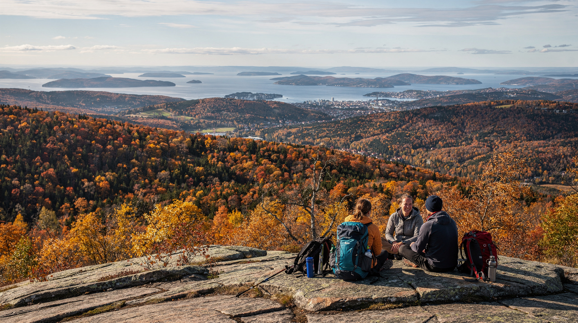
Autumn (September–October): Many experienced Oslo hikers consider this the finest season. Birch turns gold from mid-September, typically peaking around the first week of October at ridge elevations. The light is lower and warmer than summer; crowds thin dramatically after the school year begins in mid-August. Temperatures drop to 6–14°C during the day — perfect for physical effort — and the first cold nights sharpen the air.
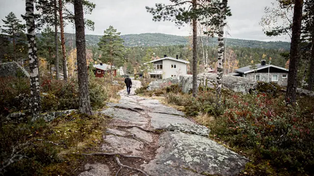
Grefsenkollen and Kolsåstoppen are the best autumn colour destinations because they have more birch than the spruce-dominated deep Nordmarka. The east-facing Grefsenkollen ridge catches morning light on the coloured canopy spectacularly.
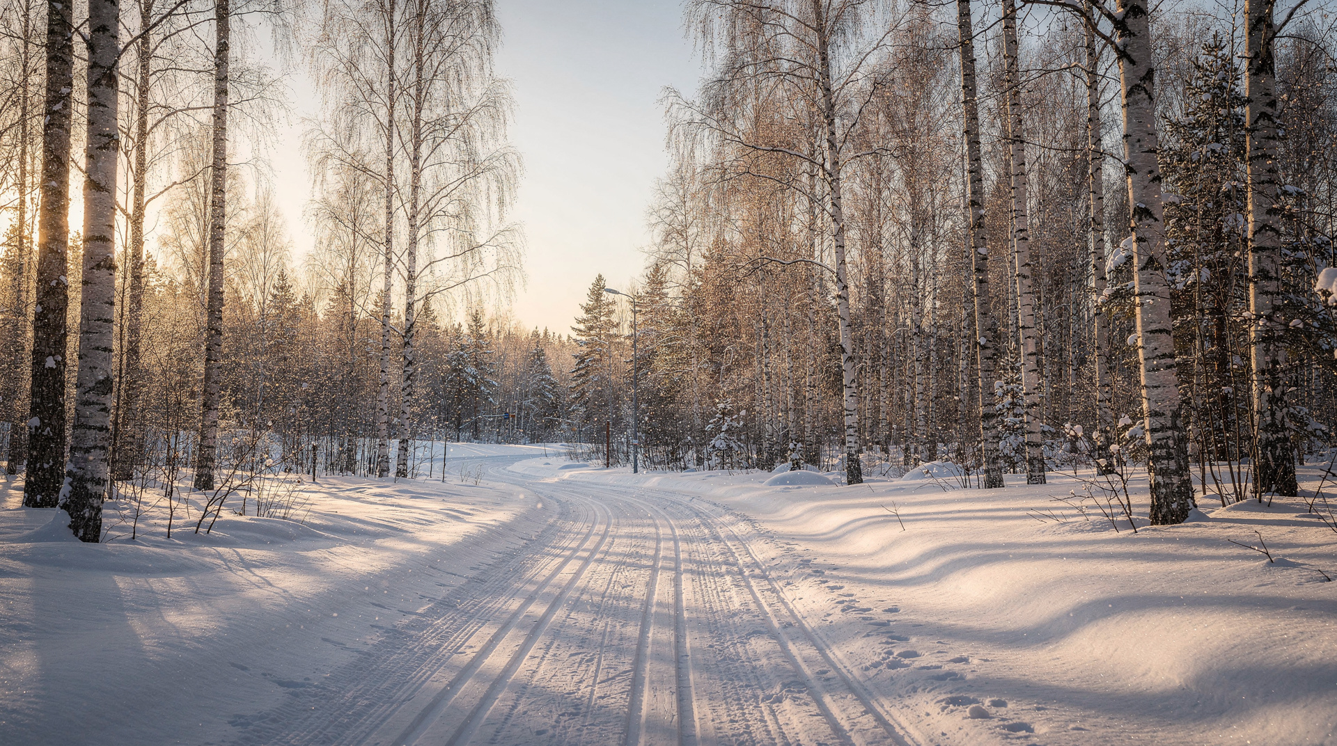
Winter (November–March): Oslo’s hiking trails are converted to cross-country ski corridors in the snow season, but hiking remains possible on the groomed edges — step aside for skiers. Vettakollen and Kolsåstoppen are dramatic in snow: the granite platform at Vettakollen with the fjord silver-grey below and Nordmarka white to the horizon is a genuinely memorable winter view.
Winter hiking requires microspikes (sold at Norwegian outdoor shops, NOK 300–500, USD 32–54) for the rocky summit approaches. Frognerseteren restaurant above Vettakollen operates year-round and serves warming food — the perfect destination for a winter summit reward.
What makes Oslo hiking different from Alpine trekking
Visitors who arrive in Oslo having hiked in the Alps or the Dolomites sometimes underestimate Oslo’s trails and sometimes overestimate them. The understimatation comes from elevation: Nordmarka’s highest point is under 700 metres, and the standard summit hikes top out at 375–383 metres. These are small numbers. But the trail quality, the cultural context, and the specific pleasure of urban forest hiking are entirely their own.
What Oslo hiking lacks in altitude it compensates in accessibility. The idea that you can step off a metro in the middle of the city, walk for 15 minutes, and stand on open rock looking at the sea is not something the Alps offer. Chamonix is 65 km from Geneva. Frognerseteren is 30 minutes by metro from Oslo City Hall.
The absence of commercial infrastructure in the forest is also distinctive. No ski lifts, no mountain restaurants with laminated menus and 15 EUR aperol spritzes, no shuttle buses. Just the DNT cabin system, the blue-T markers, and the forest. For visitors accustomed to the curated adventure of Alpine tourism, the radical simplicity of Oslo’s marka can take a moment to appreciate — and then feel like exactly the right thing.
Building a hiking day from central Oslo
A model day for a first-time Oslo hiker:
Morning: T-bane line 1 from Nationaltheatret to Vettakollen (25 min). Walk to summit (15 min). Spend 30 minutes at the top. Continue north on trail to Frognerseteren (45 min). Lunch at Frognerseteren restaurant (sour cream porridge or the open sandwich plate, NOK 180–220, USD 19–24). T-bane back to centre (30 min) or continue the day’s programme.
Afternoon: From central Oslo, walk to Aker Brygge harbourfront (15 min) for a kayak session (3 hours, departs from Sørenga, approximately NOK 800, USD 86) or a SUP rental session (2 hours, approximately NOK 450, USD 48). The combination of forest ridgeline and fjord paddling in the same day is Oslo at its most characteristic.
Budget for the day: T-bane fare NOK 80 (return, USD 9) + Frognerseteren lunch NOK 200 (USD 22) + water and snacks NOK 60 (USD 6) = NOK 340 (USD 37) for the hiking portion. The most cost-effective activity day in Oslo.
Resources and planning tools
Ut.no: Norway’s national hiking app, free, with downloadable offline maps for all areas described in this guide. Search by trail name (Vettakollen sti, Kolsåstoppen, Ullevålseter) to find marked routes.
Skiforeningen: The Oslo Hiking Association (also manages the ski trails in winter) maintains skiforeningen.no with seasonal trail updates, cabin opening dates, and weather-specific advice in Norwegian. The trail status page is useful even for those without Norwegian — green icons mean good conditions.
DNT Oslo office: Youngstorget 1, central Oslo. Open weekdays 10:00–18:00. Staff speak English and can advise on specific routes, conditions, and cabin availability. The shop sells maps, guidebooks, and outdoor equipment.
Ruter app: For transport planning to and from trailheads. Download before your visit; it works offline and shows real-time train departures from all T-bane stations.
The overall message is simple: Oslo’s hiking infrastructure is exceptional by the standards of any European capital, and the Ruter network makes it genuinely car-free accessible. You do not need to rent a car, join a tour, or plan more than an hour ahead to get a proper Norwegian forest experience from the city centre.
What locals do differently
Oslo residents treat these trails less as tourist attractions and more as a routine part of weekly life, and that shows in a few habits worth borrowing. Locals rarely check the weather forecast before a hike the way visitors do — Nordmarka in light rain is still a perfectly good place to be, and a waterproof layer solves most of the discomfort.
They also tend to hike in the early evening after work rather than mid-morning, taking advantage of the long Nordic daylight from May through August to fit a full hike into a weekday. And they overwhelmingly prefer the quieter trails — Grefsenkollen over Vettakollen, weekday over weekend — treating solitude as a design feature of Oslo hiking rather than something to seek out only when the popular routes disappoint.
Hiking near Oslo with limited mobility or young children
Not every Nordmarka trail requires the same fitness. The Sognsvann lakeshore path is flat, paved and stroller-friendly for its first kilometre, making it the honest recommendation for families with young children or anyone who wants forest scenery without elevation gain. Bogstad Manor loop is similarly gentle and well-surfaced, and its estate grounds add historical interest for children who need more than trees to hold their attention. For accessibility considerations beyond hiking specifically, see the accessible Oslo guide, which covers where Oslo’s outdoor terrain does and doesn’t accommodate mobility needs.
Trail food and where to refuel
Unlike Alpine hiking, Oslo’s trail network has almost no mid-route commercial infrastructure beyond the handful of DNT cabins already mentioned — there’s no chain of mountain restaurants selling overpriced pasta at 2,000 metres. Pack accordingly: a simple matpakke (Norwegian packed lunch of open sandwiches) is the local standard, supplemented by fruit and a thermos of coffee.
Frognerseteren restaurant, reachable from several routes above, is the one reliable full-service option on the network and worth timing a hike around if a hot meal at the end matters to you. Otherwise, plan to carry what you need and treat any DNT cabin waffles as a bonus rather than a given, since opening hours vary by season and some smaller cabins close entirely outside summer.
Combining a hike with Holmenkollen
Several of the routes above pass close enough to Holmenkollen to combine a summit hike with a visit to the ski jump and museum on the same T-bane line. From Frognerseteren, the trail network connects south toward Holmenkollen in about 45 minutes of easy forest walking, making a natural link between a morning hike and an afternoon at the ski jump viewing platform. This pairing works particularly well in winter, when the Holmenkollen museum offers an indoor break partway through a colder day outdoors.
Frequently asked questions about Best Oslo hikes reachable by tram and metro
Do I need a car to hike near Oslo?
No. Oslo's T-bane (metro) and tram system reaches the edge of Nordmarka and the western ridgelines. Vettakollen, Kolsåstoppen, Grefsenkollen, and Sognsvann are all accessed directly from stations without a car.What is the easiest hike from central Oslo?
Ekeberg ridge is the closest — a 20-minute walk from Ekebergparken tram stop (line 18/19), with good views over the fjord. For something more forest-like, Sognsvann lake (T-bane line 3, end of line) is flat and well-signposted.Are Oslo hiking trails well marked?
Yes. The blue-T (blåmerket) system of the Oslo Hiking Association marks hundreds of kilometres of trails. Ut.no is the standard app — free, offline-capable, and far more detailed than Google Maps for trails.When is the best season for hiking near Oslo?
May through October. Snow can linger on north-facing slopes until April. By June the forest is lush, light is long (nearly 18 hours), and temperatures are 18–24°C. September brings autumn colours and smaller crowds.Are there any dangerous hikes near Oslo?
Nordmarka can disorient beginners in bad visibility — take the Ut.no offline map. The summits themselves are tame by Alpine standards. Watch for ice on rocky sections in early spring and late autumn.Can I swim during a hike near Oslo?
Yes, especially in summer. Sognsvann lake has a popular swimming beach at the end of the T-bane. Maridalsvannet (Oslo's drinking reservoir) has restricted swimming; stick to marked bathing spots.Which Oslo hike is best for a short visit with limited time?
Vettakollen is the best combination of low effort and high reward — 25 minutes by metro plus a 15-minute walk to a summit with near-360-degree views. It's the single hike to prioritise if you only have a couple of hours to spare from a city itinerary.Can I hike near Oslo in winter without special equipment?
You need microspikes (around NOK 300-500) for the rocky summit approaches to Vettakollen and Kolsåstoppen once ice sets in, but the lower forest trails and groomed cross-country routes around Sognsvann and Frognerseteren are walkable in ordinary winter boots. Check trail conditions on skiforeningen.no before setting out.
Top experiences
Bookable activities with verified prices and instant confirmation on GetYourGuide.