Kolsåstoppen hike — Oslo's western summit by metro
Oslo: best view of the Oslofjord hike
Duration: 3 hours
- Fjord views
- Small group
How do you hike Kolsåstoppen from Oslo?
Take T-bane line 3 to the Kolsås terminus (about 45 minutes from Nationaltheatret). Follow the signed trail north-west from the station — the ascent to the 383-metre summit takes 40–50 minutes. Total round trip from the station is 1.5–2 hours.
The western ridge that most Oslo visitors miss
| Where | Kolsås terminus, T-bane line 3, Bærum |
| Time needed | 1.5–2 hours round trip; half-day with extensions |
| Cost | Single Ruter ticket NOK 42 (app) each way |
| Difficulty | Moderate — 200m elevation gain, easy summit scramble |
| Best time | Late Sept–early Oct (colour); clear winter days for views |
Almost every visitor who hikes near Oslo goes east — Vettakollen, Nordmarka, Sognsvann — because T-bane line 1 is the most familiar and most talked-about outdoor metro line. But line 3, the Kolsås branch, delivers its own summit and a genuinely different landscape: the rolling birch-covered ridges west of Bærum, less crowded than their eastern counterparts, with views that encompass the southern fjord from a different, longer angle.
Kolsåstoppen at 383 metres is only marginally higher than Vettakollen, but the ascent from the valley floor at Kolsås station gains more height over a longer distance, giving it a more satisfying uphill character. On a clear day the Oslofjord is framed dramatically below the forested ridge, and you are very likely to have fewer people around you than on Vettakollen.
Getting to Kolsås
T-bane line 3
Board T-bane line 3 (Kolsås direction) at any central Oslo station. From Nationaltheatret the journey takes approximately 45 minutes, from Majorstuen 38 minutes. Trains run every 15 minutes in peak hours. Kolsås is the terminus; you cannot overshoot. Exit and cross the car park to pick up the signed trail.
Ruter single ticket: NOK 42 (USD 4.50) in app, NOK 80 (USD 8.60) on board. The 24-hour ticket at NOK 130 (USD 14) is worthwhile if you plan a second trip later in the day.
By bike (for locals and longer-stay visitors)
Kolsåstoppen is reachable by bicycle from central Oslo in 1–1.5 hours via the Sandvikselva river path through Bærum. This is a pleasant low-traffic route but adds significantly to the day’s total effort. City bikes (Oslo Bysykkel) do not reach this far; you would need your own bicycle.
The trail from Kolsås station
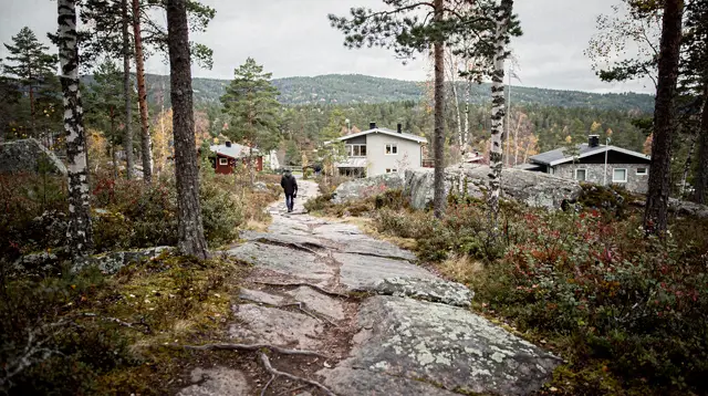
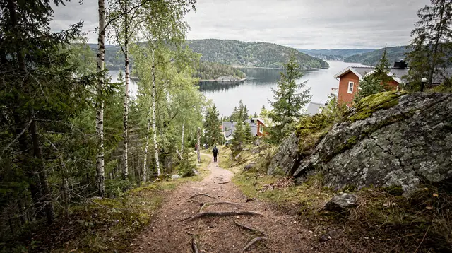
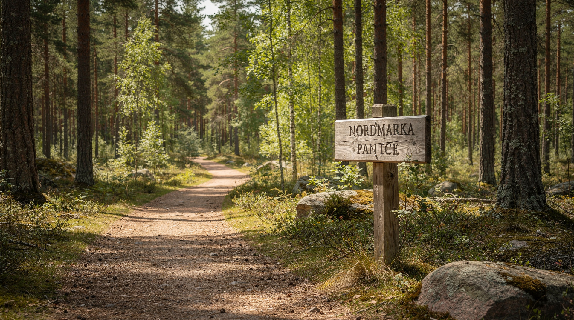
From the station exit, a signed footpath leads north-west immediately. The trail is marked with the blue-T hiking symbol at regular intervals. The first kilometre is through mixed birch and pine forest on a well-worn path — broad enough to walk two abreast, with exposed tree roots and rocks across the path that become slippery when wet.
The gradient increases at roughly the halfway point where the path breaks out of dense canopy and starts climbing more openly over rocky ground. This is the most attractive section in autumn, when low birch scrub turns yellow and orange against the dark granite. The final push to the summit is over bare rock — a few metres of easy scrambling that requires hands in wet or icy conditions.
Total ascent from station to summit: 2.2 km, 200 metres of elevation, 40–50 minutes for most walkers.
At the summit
Kolsåstoppen’s top is a wide granite dome — less dramatic than the pointed summit look that photographs suggest, but spacious enough that even a moderate crowd disperses naturally. A trig point marks the high point.
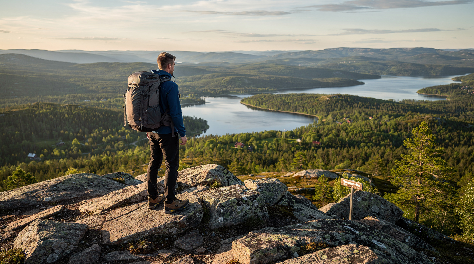
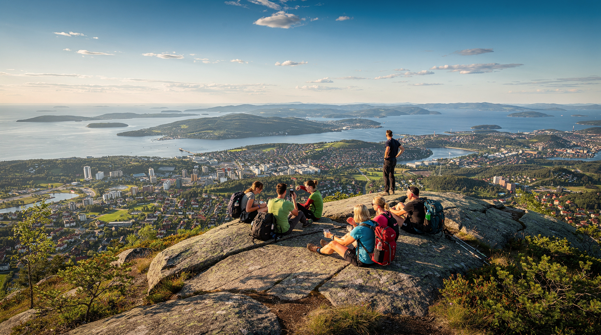
The view south and south-east is the reward. The Oslofjord curves through the landscape below, the Nesodden peninsula a dark tongue in the water, the Oslo archipelago visible on clear days. East, Oslo’s city silhouette is recognisable — the Barcode skyscrapers at Bjørvika are identifiable at a distance. West, the Krokskogen plateau and Ringerike lowlands open towards Hønefoss.
In summer this is a popular spot for picnicking. In winter, the summit is often swept by wind — bring an extra layer.
Extensions from the summit
East ridge to Ravnkollen
The most rewarding extension follows the ridgeline east from Kolsåstoppen to Ravnkollen (352 m) and returns to Kolsås station via a lower forest path. This adds approximately 4 km and 1.5 hours to the outing, creating a genuine half-day loop. The path is marked but less manicured than the main ascent; some route-finding is needed at junctions.
South-west to Dælivann and the lake circuit
Trail signs from the summit point south-west towards the Dælivann lake system in Bærum. This route is less well-known and notably quieter, suited for those who want a longer walk without doubling back. The lake shore offers flat walking and potential swimming in summer. Return to Kolsås station via forest roads adds roughly 6 km to the round trip.
Connection to Nordmarka
Fit hikers who want a long day can continue north from the summit on ridge trails connecting the Kolsåstoppen area to the broader Nordmarka network described in our Nordmarka hiking guide. This is a full-day proposition requiring good navigation skills or the Ut.no offline map.
Seasonal notes
Spring (April–May): Snow melts early on south-facing slopes but can linger on the north side of the ridge into April. The trail is muddy but passable. Wildflowers, particularly wood anemone (hvitveis), carpet the forest floor in May — the best month for colour.
Summer (June–August): The summit receives afternoon sun until after 20:00 in midsummer. Evening hikes to catch the golden-hour light over the fjord are a local favourite.
Autumn (September–October): Peak birch colour typically runs from late September to mid-October at this elevation. Arguably the best season visually — the ridge blazes yellow-orange against grey granite.
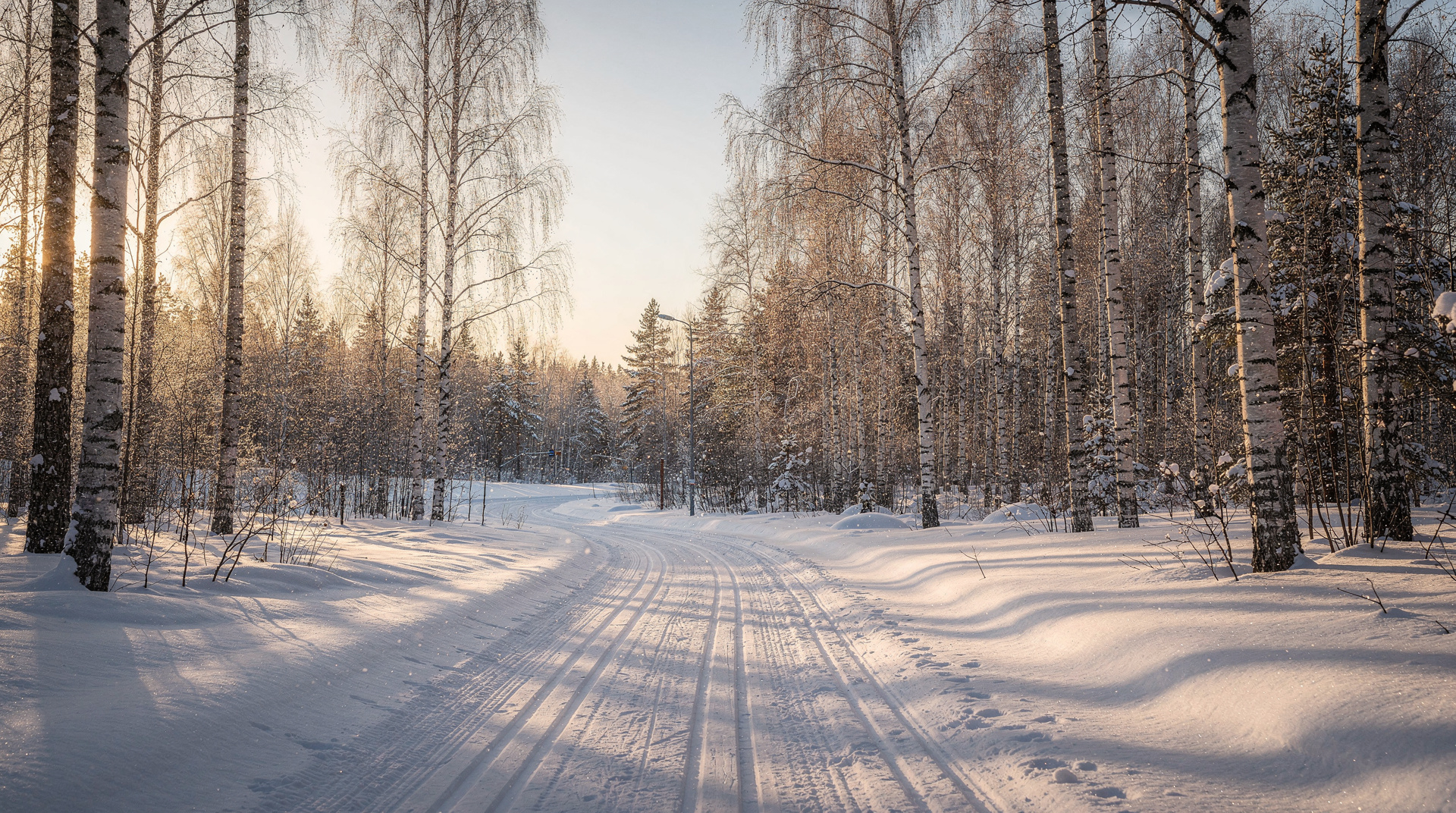
Winter (November–March): The trail becomes a groomed cross-country ski track in heavy snow. As a hiker, step aside for skiers. Microspikes are useful on the rocky upper section. The view on a clear cold day with snow-dusted forest is exceptional — the fjord has a silvery sheen in flat winter light.
Honest assessment
Kolsåstoppen does not have the instant-gratification punch of Vettakollen — the metro ride is 20 minutes longer and the approach trail requires a bit more effort. But it rewards those willing to invest slightly more: the summit feels less like a city park and more like a real mountain ridge, the crowds are thinner, and the westward view is a genuine addition to the Vettakollen angle.
Best for: Visitors spending 3 or more days in Oslo who have already done Vettakollen and want something different. Western-suburb residents for whom this is the home mountain.
Less suited for: Visitors with only a half-day. The transport time from central Oslo makes Vettakollen a better time-efficient choice.
Pair with: After returning to Kolsås, consider the local suburb of Bekkestua for lunch — it has a handful of decent café-restaurants far cheaper than central Oslo. Or, for a full comparison, read our ranked guide to all Oslo hikes and decide which summit fits your day best.
For those building an active Oslo trip, our 3-day active itinerary includes both Vettakollen and time in Nordmarka — Kolsåstoppen makes a natural substitute or addition depending on your schedule.
Trail conditions through the year
April–May: The snow melts earlier on Kolsåstoppen’s south-facing slopes than on the eastern ridges. By late April the lower forest trail is usually clear; the rocky summit scramble may have some ice until early May. Wood anemones bloom white across the forest floor in May — one of the most appealing months to walk here. Birds are busy: the great spotted woodpecker works the birch canopy, and coal tits dart through the spruce.
June–August: The trail is dry, well-trodden, and comfortable in warm weather. The summit can be warm on exposed days — the west-facing aspect catches afternoon sun strongly in June and July. Carry 1.5 litres of water per person. The eastern extension to Ravnkollen is at its most pleasant in the long June evenings.
September–October: Autumn colour peaks on Kolsåstoppen approximately one week after Vettakollen because its birch cover is denser and at slightly higher elevation. Late September is the sweet spot — the colour is at its peak, the ridgeline birch glows amber, and the fjord below is often calm and silver. Significantly fewer hikers than in summer.
November–March: Winter transforms the ridge into a cross-country ski track. The official groomed tracks follow the forest paths from Kolsås station toward the ridge, and the summit itself is accessed by hikers on foot while skiers use the parallel trails. On a clear January day with fresh snow, the view south over the frozen-looking fjord (the inner Oslofjord does not freeze but has a metallic winter quality) is excellent. Bring microspikes for the upper rock section.
Local character of the area
Kolsåstoppen sits within Bærum municipality — the prosperous western suburb that runs along the Oslofjord west of Oslo proper. Bærum is consistently ranked among Norway’s wealthiest municipalities and has invested heavily in trail maintenance on its side of the ridge system. The approach trail from Kolsås station is well-kept and clearly signed, and the connecting paths along the ridge are maintained to a high standard.
The cultural atmosphere is different from Nordmarka — this is suburbanite Oslo at its most confident outdoor self, where families hike with expensive gear, trail runners train on the ridgeline, and the kiosk at Kolsås station sells decent coffee. It is not wilderness in the Nordmarka sense; it is high-quality accessible outdoor recreation with a pleasantly unselfconscious Norwegian character.
Reaching Kolsåstoppen from Bekkestua
An alternative approach that cuts the T-bane time: alight at Bekkestua station (line 3, one stop before the terminus) and walk north through the residential neighbourhood to pick up the forest trail toward the summit. This approach takes slightly longer (about 55 minutes total to the summit versus 50 minutes from Kolsås) but passes through the pleasant Bekkestua town centre, where several good cafés and a bakery allow for a pre-hike coffee stop.
Afterwards, Bekkestua has better food options than Kolsås — the suburb has a proper high street with several café-restaurants that offer meals at prices 15–25% lower than central Oslo equivalents. A post-hike lunch at one of the Bekkestua spots before returning on the T-bane makes a natural end to a half-day trip.
Combining with Nordmarka forest
The ridge north of Kolsåstoppen connects to the broader Nordmarka trail system via a series of paths that require some navigation but are marked on Ut.no. For experienced hikers comfortable with a 15–18 km day, it is possible to walk from Kolsås station over Kolsåstoppen and continue northeast through forest to emerge at Sognsvann station on T-bane line 3 — a full point-to-point ridge traverse that keeps you in forest almost the entire distance.
This route passes through quieter Nordmarka terrain than the standard Vettakollen–Frognerseteren corridor and is notably less crowded on summer weekends. Plan on 4.5–6 hours for fit hikers, depending on pace and stops. Bring the Ut.no offline map, 2 litres of water, and lunch — there are no cabin stops on this particular route.
Why this hike suits certain travellers better than Vettakollen
The honest comparison: Vettakollen is more popular, closer to central Oslo, and faster to the summit. Kolsåstoppen asks for 20 more minutes on the metro and a more sustained ascent, and delivers a slightly different view angle with considerably fewer people.
The visitors who tend to prefer Kolsåstoppen are those who value solitude over convenience, who want a west-side perspective on the fjord (which differs meaningfully from the south-facing Vettakollen angle), or who are based in the western districts of Oslo or in Bærum and find the T-bane line 3 their natural corridor.
If you have already done Vettakollen on a previous visit, Kolsåstoppen is the logical next Oslo summit. They complete each other, offering complementary views of the same fjord-and-forest landscape from different ridges.
What to eat and drink nearby
After the descent to Kolsås station, the nearest food options are in the Bekkestua neighbourhood (one T-bane stop back toward Oslo). Bekkestua has a small commercial centre with a supermarket, two or three cafés, and a pizza-pasta restaurant that is popular with local families. Prices are noticeably lower than central Oslo — a café lunch (sandwich, drink, coffee) costs NOK 150–200 (USD 16–22) rather than the NOK 200–280 you would expect near Karl Johans gate.
For a full post-hike meal, the suburb of Lysaker (3 stops back toward Oslo on T-bane line 3, at the interchange with the airport express and National Rail) has a wider restaurant selection and the Lysaker Brygge waterfront development with several casual dining options facing the Oslofjord.
If you are continuing to Frognerseteren or Holmenkollen by T-bane after the hike, those areas have the restaurant options described in the Vettakollen guide and the Holmenkollen guide.
Access notes for all abilities
The trail from Kolsås station to the summit is uneven in places and involves some scrambling on the rocky upper section. It is not accessible for wheelchairs or prams. Those with significant mobility restrictions who still want an Oslo western-ridge forest experience might consider the lower forest paths from Kolsås station — a 2–3 km flat walk through birch forest that does not reach the summit but delivers the forest atmosphere without the rocky scramble.
The Ruter app is accessible and the T-bane trains on line 3 are fully accessible with level boarding at all modern stations. Kolsås station itself has a lift. The accessibility constraint is the trail, not the transport.
A word on mobile phone coverage
Phone coverage on the Kolsåstoppen trail is generally good — you are not far enough from the city for signal to fail. The Ut.no app works with both online and offline maps; download the area before leaving the T-bane if you want to use it without data. Emergency calls (112) work throughout.
One practical note: the T-bane car on line 3 often has gaps in mobile signal in the tunnel sections between Majorstuen and the western suburbs. This should not affect your planning, but do not rely on making calls during the T-bane journey to verify meeting arrangements.
Building a full day from Kolsåstoppen
A suggested full active day combining Kolsåstoppen with the broader Oslo outdoor offer:
Morning (09:00–12:00): T-bane to Kolsås, hike to summit, extend to Ravnkollen ridge, return to Kolsås. Lunch at Bekkestua café.
Afternoon (14:00–17:00): Return to central Oslo by T-bane. Walk to Tjuvholmen waterfront (15 minutes on foot from Nationaltheatret). SUP rental or a stroll along the Aker Brygge harbourfront.
Evening: Dinner at one of the Aker Brygge or Tjuvholmen restaurants. The floating sauna at Tjuvholmen is accessible for a pre-dinner session (book in advance, NOK 600–900 per person for 2 hours, USD 65–97).
This is a thoroughly Oslo day: western forest ridge in the morning, fjord in the afternoon, sauna and dinner in the evening. Total transport cost: two single Ruter tickets (NOK 80, USD 9). Total activity cost for SUP: approximately NOK 450 (USD 48). A good value full day in an expensive city.
Kolsåstoppen vs Vettakollen: which one to choose
Since almost every Oslo visitor considers Vettakollen first, a direct side-by-side helps decide which — or whether both — fit your trip:
| Kolsåstoppen | Vettakollen | |
|---|---|---|
| Elevation | 383 m | ~375 m |
| Metro line | Line 3 (Kolsås) | Line 1 (Frognerseteren) |
| Journey time from centre | ~45 min | ~25 min |
| Ascent time | 40–50 min | 25–35 min |
| Crowds | Noticeably lighter | Busier, especially weekends |
| View direction | South-west, fjord + Bærum | South, fjord + city |
If you only have a half-day, Vettakollen is the time-efficient choice. If you have 3+ days and have already done Vettakollen, or specifically want a quieter, longer hike, Kolsåstoppen is the better next step. Doing both across a multi-day stay gives you complementary angles on the same fjord.
Wildlife and flora on the Kolsås ridge
The mixed birch and pine forest around Kolsåstoppen supports a fairly typical southern-Norwegian forest ecosystem, but a few sightings are common enough to watch for. Roe deer are frequently spotted at dawn and dusk in the lower forest sections, particularly near the treeline transitions. Red squirrels are common year-round. Birdlife includes great spotted woodpeckers, coal tits, and — in the more open rocky sections near the summit — occasional sightings of common buzzards riding thermals above the ridge. In May, wood anemones carpet the forest floor in a brief but spectacular bloom that draws local photographers specifically for this window.
The Bærum municipality’s active trail maintenance also means informational signage along the route is more detailed than on some Nordmarka paths, with occasional boards explaining local geology (the granite bedrock exposed at the summit) and forest management practices.
Public transport tickets and validating your journey
Buy your Ruter ticket via the Ruter app before boarding — it’s cheaper than paying on board and works seamlessly with the T-bane gates. A single ticket at NOK 42 covers one journey with free transfers within 60 minutes, which matters if you plan to stop at Bekkestua on the way back rather than riding straight through to Kolsås. If you’re combining the hike with other T-bane trips the same day — a Nordmarka visit, or an evening back into the centre — the 24-hour ticket at NOK 130 pays for itself after three rides. See the Ruter transport guide for the full ticketing breakdown across Oslo’s zones.
Packing list for the hike
A day pack for Kolsåstoppen should include: 1–1.5 litres of water (2 litres in summer heat), a packed lunch or substantial snacks (no food stop en route), a light waterproof layer regardless of season — Oslo weather changes quickly — and sturdy trail shoes or boots with grip for the rocky summit section. In winter, add microspikes and an extra insulating layer for the exposed summit. A basic first-aid kit and a charged phone with the Ut.no app downloaded for offline use are sensible for any Oslo forest hike, including this one.
Frequently asked questions about Kolsåstoppen hike — Oslo's western summit by metro
Is Kolsåstoppen harder than Vettakollen?
Slightly. Kolsåstoppen is about 8 metres higher than Vettakollen and the approach from Kolsås station involves more sustained climbing over 2 km. Expect 200 metres of elevation gain versus 120 for Vettakollen. Most fit adults complete it without difficulty.Can you extend the Kolsåstoppen hike into a loop?
Yes. A popular extension runs east along the ridgeline to Ravnkollen and back to Kolsås station via a different forest path, adding roughly 4 km to the route. Alternatively, continue south-west from the summit towards the Dælivann lake system for a longer half-day.Are there cafés near Kolsåstoppen?
No café at the summit. There are small kiosks at Kolsås station and a few café options in the Bekkestua neighbourhood 10 minutes' walk from the station. Bring your own food and water for the trail.Is the Kolsåstoppen trail dog-friendly?
Yes. Dogs are common on all Oslo forest trails. Keep them on leads from April to July when ground-nesting birds are active. The trail surface is suitable for dogs — no scrambling or exposed ledges.What is the view like from Kolsåstoppen?
Looking south and south-east you see the inner Oslofjord, the Nesodden peninsula, and on clear days the islands of the Oslo archipelago. Oslo city is visible to the east. The western ridge blocks the view north, but you gain the Krokskogen plateau to the north-west on very clear days.
Top experiences
Bookable activities with verified prices and instant confirmation on GetYourGuide.