Vettakollen hike — Oslo's best viewpoint trail
Oslo summit: a scenic hiking adventure to Vettakollen
Duration: 3 hours
- Panoramic views
- Local guide
How do you get to Vettakollen from Oslo city centre?
Take T-bane line 1 (direction Frognerseteren) to Vettakollen station. The journey from Nationaltheatret takes about 25 minutes. From the station, follow the signed trail uphill for 15 minutes to reach the summit platform with panoramic fjord and city views.
Why Vettakollen beats every other Oslo viewpoint
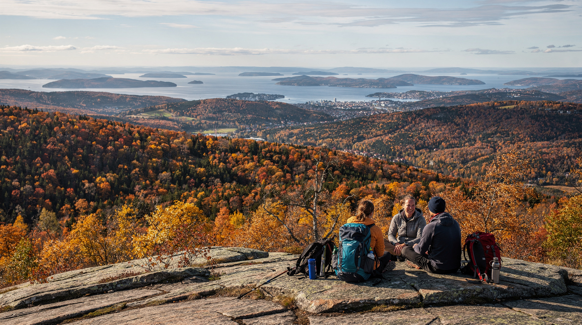
Oslo has no shortage of high ground with views. Holmenkollen’s ski jump tower, Grefsenkollen’s ridge terrace, the rooftop bar at Hotel Amerikalinjen — each offers a different angle. But Vettakollen, a 375-metre granite summit above the Nordmarka border, earns its top spot for a specific reason: the ratio of effort to reward is unmatched anywhere near the city. Fifteen minutes of uphill walking from a T-bane station and you are standing on open rock with the entire Oslofjord laid out to the south and an unbroken sea of spruce and birch stretching north as far as weather permits you to see.
This guide covers the trail in full — exact directions from central Oslo, route variants, what to bring, what to realistically expect, and how to make a half-day of it.
| Where | Vettakollen T-bane station, T-bane line 1, ~25 min from Nationaltheatret |
| Cost | Standard Ruter fare only, around NOK 42 |
| Time needed | 1–1.5 hours return; add 1–2 hours for extensions |
| Difficulty | Easy to moderate, ~120 m elevation over 1.5 km |
| Best time | Weekday mornings, or golden hour (20:00–21:30) in summer |
Getting to the trailhead
By T-bane (metro) — the standard approach
Board T-bane line 1 (Frognerseteren direction) from any central Oslo station — Nationaltheatret, Stortinget, Jernbanetorget, or Carl Berner. The ride to Vettakollen station takes 24–28 minutes from Nationaltheatret. Trains run every 5–10 minutes on weekday mornings and evenings, every 15 minutes on weekend midday; check the Ruter app for exact times. A single Ruter ticket costs NOK 42 (USD 4.50) purchased in the app, or NOK 80 (USD 8.60) on board.
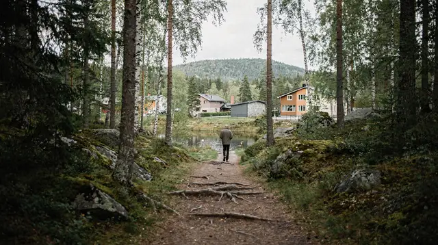
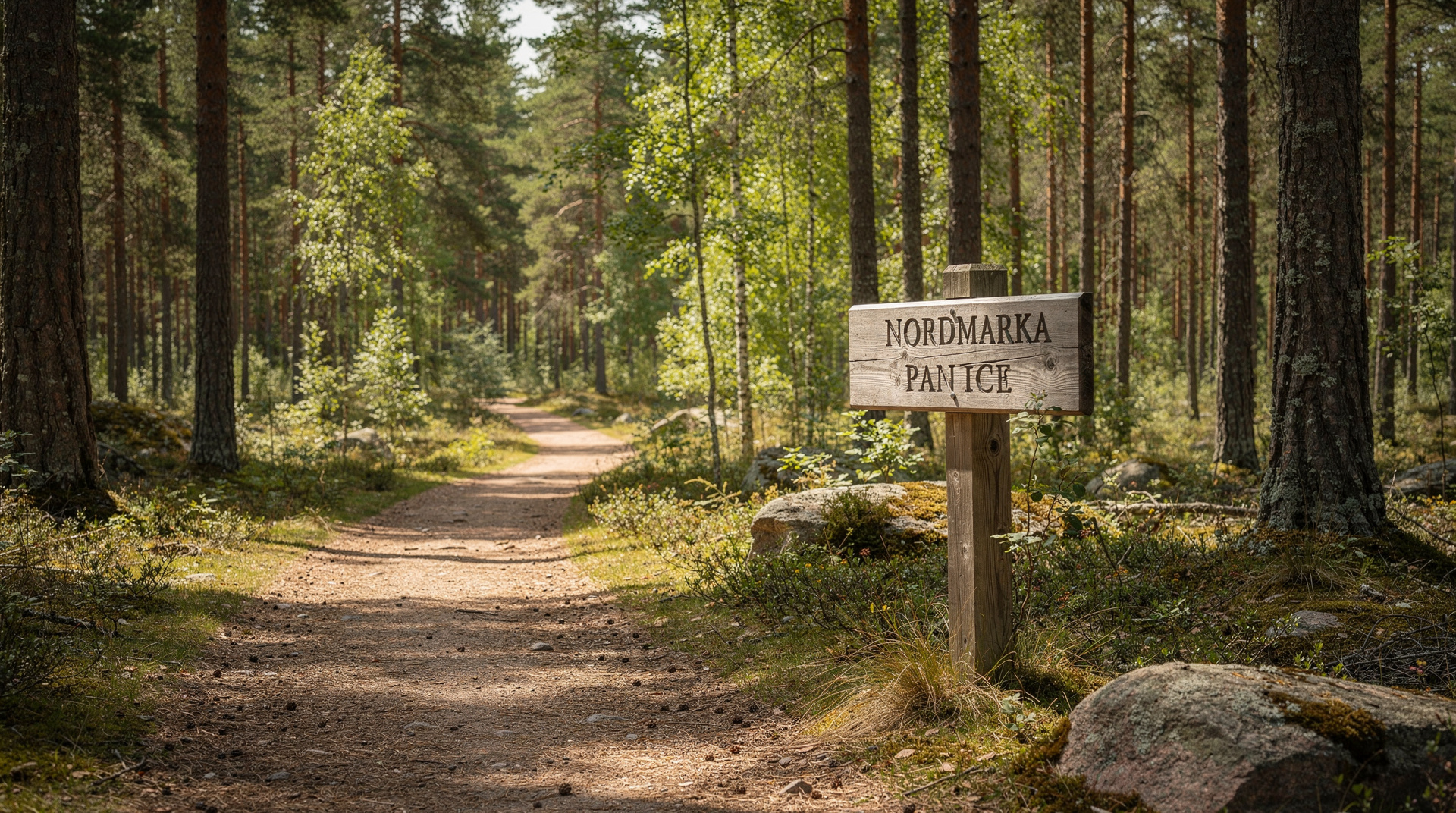
Vettakollen station is a small platform in the forest — no kiosk, no map board, no signs other than the blue-T hiking markers. Exit the platform and look for the trail immediately to the left (south side of the track). The path is clear from the start.
On foot from Holmenkollen (longer approach)
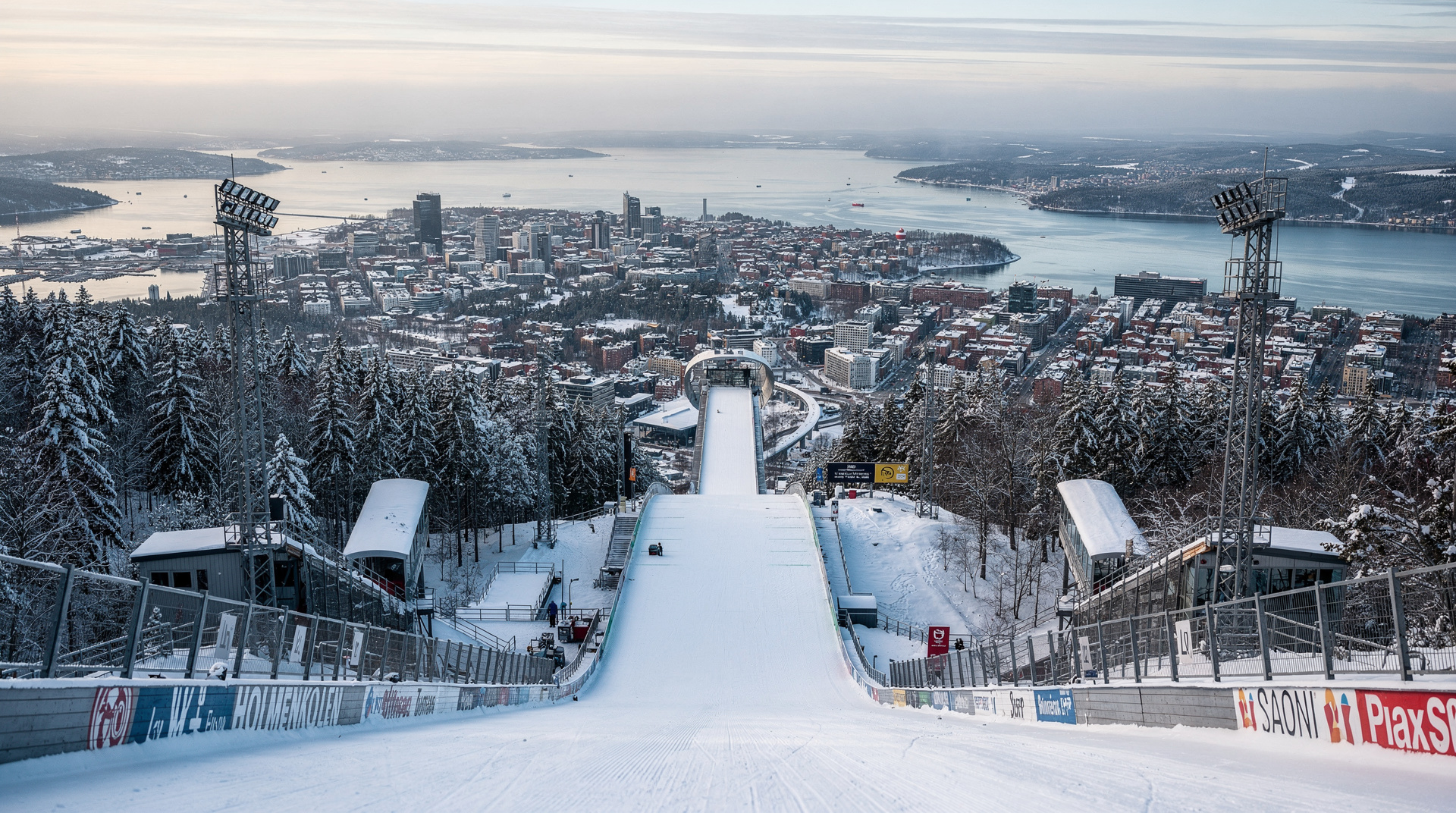
A longer and more rewarding approach is to ride to Holmenkollen station (3 stops before Vettakollen on line 1) and walk to the summit from there via the ridge trail. This adds roughly 4 km and 150 metres of extra climb, passing the ski jump tower and museum complex on the way. It is a logical approach if you plan to visit Holmenkollen on the same outing.
The trail in detail
Station to summit (1.5 km, ~120 m elevation gain)
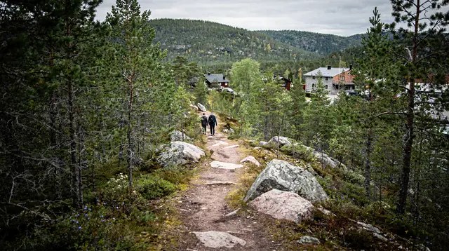
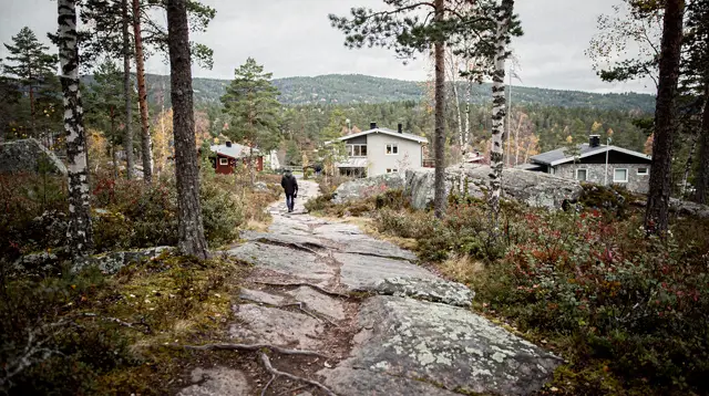
From Vettakollen station, the trail climbs immediately on a rocky path through birch and pine. The gradient is consistent but never severe. Two or three false summits punctuate the route — short plateaus where the trees briefly clear and the path seems to end at sky, only to resume uphill. The true summit is marked by a trig point and a flat granite platform roughly 20 metres across.
In dry conditions the ascent takes 12–18 minutes at a moderate pace. In icy conditions, ice cleats are worth having — the exposed rock sections become genuinely slippery after overnight frost.
Summit — what you see
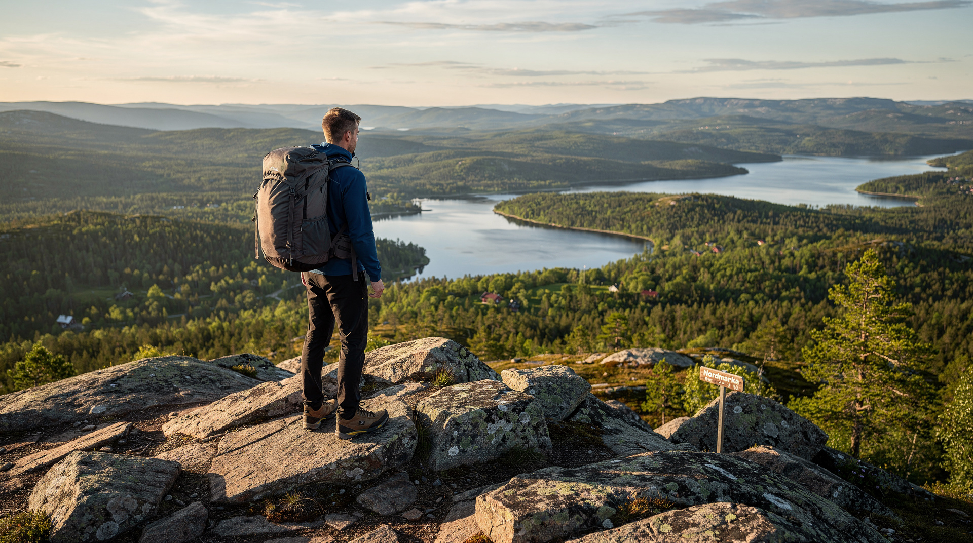
South: The view opens directly over the rooftops of the western Oslo suburbs to the Oslofjord. The motorway bridge between Oslo and Nesodden is visible on the right; the islands of the Oslo archipelago (Nakholmen, Gressholmen, Lindøya, Hovedøya) sit like dark chips in the water. On haze-free days the grey ridge beyond the far shore is the Hurum peninsula; beyond that, the Oslofjord runs south-east towards Drøbak.
North: An entirely different world. The Nordmarka forest rolls away with no visible interruption — no road, no building. The nearest visible human infrastructure is the Frognerseteren restaurant tower, 2.5 km north. This is a genuine wilderness view, remarkable for a city of 700,000.
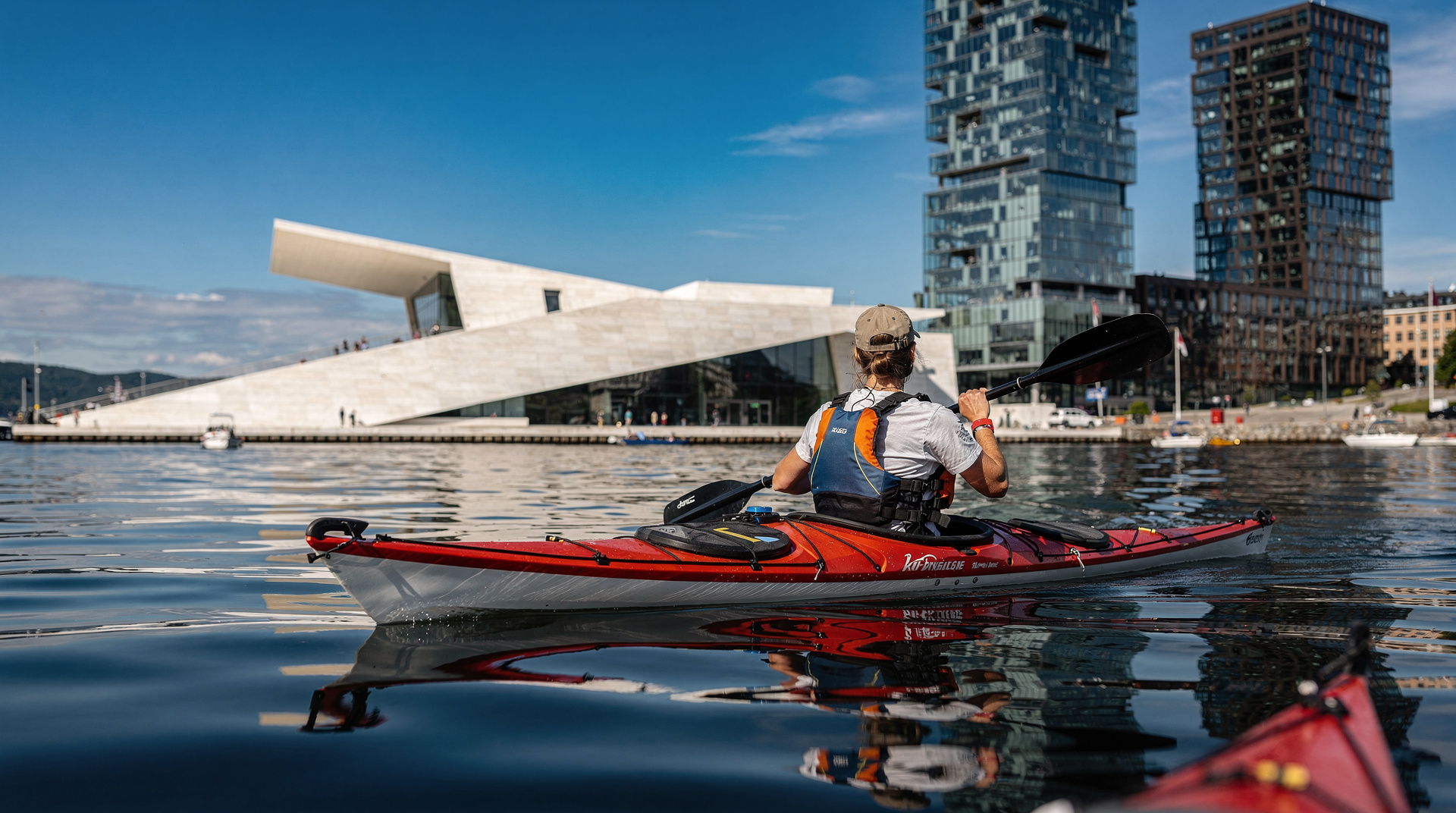
East: On clear days the city’s skyline is visible — the Munch Museum tower on the Bjørvika waterfront, the Opera House roof, the cranes of the container port.
Route extensions from the summit
Extension 1: Frognerseteren (2.5 km north, roughly 1 hour extra)
A marked trail leads north-north-west from Vettakollen summit to the Frognerseteren area, ending at the T-bane terminus at Frognerseteren station. This is the most popular extension — you hike to Vettakollen, continue north to Frognerseteren, reward yourself with a meal at the restaurant, and take the T-bane home from there. The path is easy and well used; route time is 45–60 minutes at a relaxed pace.
Frognerseteren restaurant is a historic wooden building with a good terrace and a menu of Norwegian classics. Sour cream porridge (rømme grøt) is NOK 195 (USD 21). Soups and open sandwiches are NOK 150–190 (USD 16–20). In summer it can be crowded; arrive before midday or after 14:30 to avoid the queue.
Extension 2: Sognsvann lake (via marked trail, 3.5 km, ~1.5 hours extra)
From Vettakollen summit, a trail runs south-east to connect with the Sognsvann circuit — Oslo’s most-used recreational lake trail, accessible from T-bane line 3. This creates a point-to-point hike (Vettakollen station → summit → Sognsvann station) that requires no backtracking. The Sognsvann lake beach is a good swimming stop in summer; the water temperature reaches 20°C in July. Return to the city on T-bane line 3 from Sognsvann station.
Extension 3: Full Nordmarka day (north, 15–22 km)
The summit is a gateway to the broader Nordmarka trail network described in our Nordmarka hiking guide. Day-long routes to Ullevålseter DNT cabin or Kikutstua are feasible from Vettakollen as a starting point for fit walkers. Pack food and water; the first café stop is roughly 7 km north at Ullevålseter.
What to bring
All year: Water (at least 1 litre per person), a windproof layer (the summit catches the wind even on warm days), and your Ruter ticket or app.
Spring and autumn: Add a waterproof jacket and trail shoes with grip. Rain is common in May and September. The rocky sections can be slick.
Winter (November–March): Microspikes or crampons are strongly recommended. The trail is not dangerous but two or three sections on bare rock become genuinely icy after freeze-thaw cycles. Poles help. Dress in layers — the climb is warm, the summit is cold.
Summer: Sunscreen, hat, and 1.5–2 litres of water. July and August can be surprisingly warm on exposed rock.
Crowds and timing
Vettakollen is Oslo’s most popular accessible summit and it shows on sunny summer weekends. The platform holds perhaps 30 people without feeling congested; at peak times (sunny Saturday, 11:00–14:00, June–August) you may arrive to 60–80 people. If you want the summit to yourself, go on a weekday morning or arrive before 08:30 on weekends.
November through April weekends are quieter for hikers but popular with cross-country skiers, who use the same access paths (skiers have right of way on groomed tracks — step aside and let them pass). The combination of clear winter views and smaller summer-style crowds makes autumn and winter the honest best seasons for a pure experience.
Honest assessment
Best for: First-time Oslo hikers, photographers, those who want maximum view for minimum effort, day-trippers who only have an afternoon.
Not the best for: Experienced mountain hikers who want genuine wilderness or technical terrain. The summit is accessible, well-trodden, and short. Go deeper into Nordmarka for solitude.
Worth it? Yes, straightforwardly. The combination of metro access, genuine views, and the option to extend into real forest makes Vettakollen the single strongest argument for Oslo as an outdoor city. No rental car, no booking, no guide required — just a Ruter ticket and 90 minutes.
For a richer understanding of what Nordmarka offers, pair this visit with our ranked guide to all Oslo hikes and consider the active 3-day itinerary that builds Vettakollen into a full outdoor programme.
The historical and cultural context
Vettakollen is not new to Norwegian outdoor culture. The Holmenkollen ridgeline, of which Vettakollen is the southern anchor, has been used for recreation since at least the late 19th century when the T-bane line was extended to enable Oslo residents to reach the forest without walking hours from the city centre. The ski jump at Holmenkollen dates to 1892. The trail up Vettakollen was worn smooth long before the station was named for it.
This history matters because it explains why the trail system around Vettakollen is so mature. The paths are clear, the junctions are signed, the DNT waymarkers (blue T on rock or tree) are maintained annually. You are not pioneering; you are participating in an outdoor tradition that Oslo has been refining for 130 years.
What other hikers say — honest visitor impressions
Vettakollen gets overwhelmingly positive reactions from visitors, but with a consistent pattern: most first-time visitors are surprised by how accessible it is, and some are surprised that “Oslo’s best hike” involves only 120 metres of elevation. Managing this expectation is useful.
If you come expecting an epic mountain ascent, Vettakollen will feel modest. If you come expecting a genuinely beautiful ridge with a panoramic fjord view and a rewarding T-bane journey, it delivers completely. The appropriate comparison is not Chamonix but Central Park — except that Vettakollen is real forest, the air smells of pine and granite, and the view from the top is a genuine Norwegian fjord panorama.
Photography at Vettakollen
The summit platform faces south, which means morning light (east) catches the fjord at an angle while afternoon light (west) illuminates the city skyline. The golden hour before sunset in summer (roughly 20:00–21:30 in July) produces extraordinary light on the granite and makes the fjord glow. This is when the platform is at its most photogenic and, paradoxically, at its least crowded — most day visitors have returned to the city by this hour.
In winter, the low sun angle throughout the day means that almost any time between 10:00 and 14:00 offers good photographic light. The snow-covered Nordmarka spreading north, framed by dark spruce and pale birch, is the winter composition worth seeking.
For the city skyline angle, turn east from the summit. The Barcode towers of Bjørvika, the Opera House roof, and the cranes of the port are all identifiable from this vantage. A clear morning with low mist in the fjord and the city emerging above it is one of Oslo’s most photographed views.
Practical notes for families
Vettakollen is genuinely family-friendly with children aged 6 and above. The trail from the station is clear and engaging — enough rocks and tree roots to make it feel like adventure — without any exposure or scrambling that would concern a careful parent. The summit is broad and flat, with no cliff edges. The T-bane journey itself is an adventure for younger children: the line climbs steeply through the suburbs and into the forest, offering views back over the city from the carriage windows.
On the return, children with energy can extend to Frognerseteren (restaurant, playground, ice cream in summer) or to Sognsvann lake (beach, swimming, picnic area). Both are on T-bane line 1 and require no additional planning beyond the original journey.
A few practical notes: the Vettakollen station has no toilet facilities. Frognerseteren (3 T-bane stops further) has proper facilities. If hiking with children under 6, consider the Sognsvann lake circuit (T-bane line 3) instead — completely flat, with a café and beach at the end, and a gentler introduction to outdoor Oslo.
Getting the most from your visit
Timing: Weekday mornings are the least crowded. Saturday and Sunday between 10:00 and 14:00 in summer are the busiest windows — expect the summit to feel social rather than solitary. For genuine quiet, go on a Tuesday morning or arrive before 08:30 on any day.
Weather: The T-bane runs in all weather and Vettakollen is accessible in rain (the path is rocky and drains well). Rain hiking in the forest has its own appeal — the smell of wet spruce, the mist on the fjord, the empty trail. Bring a waterproof jacket, sturdy shoes with grip, and accept that the view will be atmospheric rather than panoramic.
Phone battery: The Ruter app, Ut.no, and your camera will consume battery faster than normal for an active day. A small portable charger is useful, particularly if you are extending to Nordmarka.
Food and water: There are no facilities on the trail between Vettakollen station and the summit. Bring water (1 litre minimum per adult) and a snack. The nearest food is at Frognerseteren restaurant, which is roughly 50 minutes of walking from the summit or 5 minutes by T-bane. In summer, the small Sognsvann kiosk (at Sognsvann lake, reached via trail or T-bane line 3) sells hot dogs, coffee, and cold drinks.
Vettakollen in comparison to Norway’s famous viewpoints
Visitors who have hiked in other parts of Norway — Preikestolen (Pulpit Rock) above the Lysefjord, Kjeragbolten, the peaks above Bergen — sometimes ask how Vettakollen compares. The honest answer is that it does not compete in the category of dramatic fjord cliffs or Alpine ridgelines. Norway’s famous viewpoints are famous precisely because the views involve vast vertical drops and fjord panoramas that are among the most spectacular on earth.
Vettakollen is a different kind of viewpoint: an urban one. Its value lies in what it reveals about a specific city’s relationship with its landscape — the way Oslo sits at the head of the fjord with the forest directly behind it, and how accessible that geography is to anyone who lives or visits here. The magic of Vettakollen is not the raw drama of the view (though it is genuinely beautiful) but the improbability of it: this much forest, this much fjord, this much sky, accessible by metro from a capital city’s centre.
For those who want the dramatic cliff viewpoints and Fjord Norway landscapes, the day trips from Oslo to Nærøyfjord or the Flåm Railway journey provide that — a different and longer experience, but one that starts from the same city.
The Vettakollen hike as a starting point
Many visitors who do Vettakollen find it sparks a broader curiosity about Oslo’s outdoor infrastructure. The hike reveals the T-bane line 1 as a genuine outdoor access vehicle — one that continues north to Frognerseteren, opening deeper Nordmarka. It suggests the possibility of swimming at Sognsvann after a forest walk. It makes the whole apparatus of Oslo’s outdoor city more legible.
If Vettakollen is your first Oslo hike, use it as orientation. From the summit you can see the geography that the rest of this site’s outdoor guides describe. The fjord to the south, the islands visible in the water, the forest stretching north — these are the settings for the kayak tours, the Nordmarka trails, the winter ski routes. Understanding where you are physically helps the rest of the city make sense. The 15-minute walk from T-bane to summit is, in this sense, a orientation exercise for the whole Oslo outdoor experience.
Vettakollen versus Kolsåstoppen — Oslo’s two easy summit hikes
Vettakollen is often compared to Kolsåstoppen, Oslo’s other well-known metro-accessible summit on the western side of the city. Both share the same basic formula: short metro-to-summit hikes with genuine panoramic rewards. Vettakollen’s view leans toward the fjord and city; Kolsåstoppen’s leans toward the western suburbs and a different angle on the Oslofjord.
Neither is objectively better — Vettakollen is marginally shorter and has slightly better fjord sightlines, while Kolsåstoppen has a slightly wilder feel on its approach trail. If you only have time for one, Vettakollen’s combination of city and fjord views makes it the stronger first-timer choice; hikers staying longer can easily do both, since they use different T-bane lines and different parts of the forest.
Frequently asked questions about Vettakollen hike — Oslo's best viewpoint trail
Is the Vettakollen hike difficult?
No. The standard ascent from Vettakollen T-bane station gains about 120 metres over roughly 1.5 km of trail. It is graded easy to moderate — suitable for most fitness levels including older hikers and families with children over about 7 years old. The final 200 metres to the summit are rocky.How long does the Vettakollen hike take?
Allow 1 to 1.5 hours return from the metro station, including 15–20 minutes at the summit. Adding an extension to Frognerseteren or continuing north into Nordmarka adds another 1–2 hours.Can you see the Oslofjord from Vettakollen?
Yes — on a clear day the view south takes in the full width of the inner Oslofjord, the bridge to Nesodden, and the islands of the archipelago. On very clear days you can see the Drøbak narrows. The view north opens to Nordmarka forest.Is Vettakollen open in winter?
The trail is accessible year-round but can be icy from November to March. Bring microspikes or walking poles. The T-bane runs normally in winter. In deep snow, the approach is often tracked as a ski trail instead. The views on a clear winter day with snow-covered Nordmarka are exceptional.Are there facilities at Vettakollen?
No toilets or café at the summit itself. Frognerseteren restaurant (one stop further on the T-bane, plus a 5-minute walk) serves traditional Norwegian food including sour cream porridge (rømme grøt) for NOK 180–220 (about USD 19–24).What is the best time of day to hike Vettakollen?
Early morning on weekends avoids the crowds. In summer (June–August), late evening is magical — the low sun catches the fjord at a golden angle and the trail is quieter after 18:00. Sunrise hikes are possible from late April when the T-bane starts running before 06:00.
Top experiences
Bookable activities with verified prices and instant confirmation on GetYourGuide.