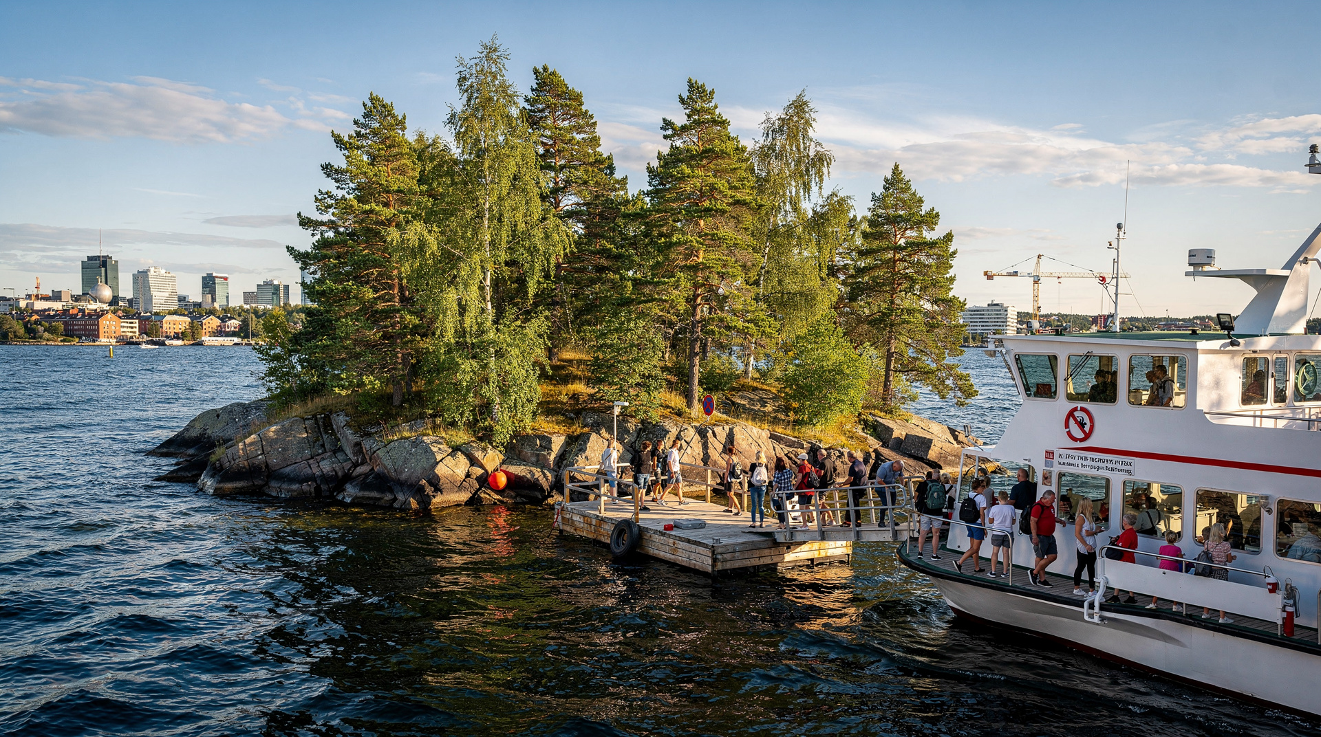
Hovedøya: Oslo's monastery island, 8 minutes from Aker Brygge
Oslo: Hovedøya and Nakholmen island hopping tour
Duration: 3 hours
- Hovedøya
- Swimming spots
How do you get to Hovedøya from Oslo?
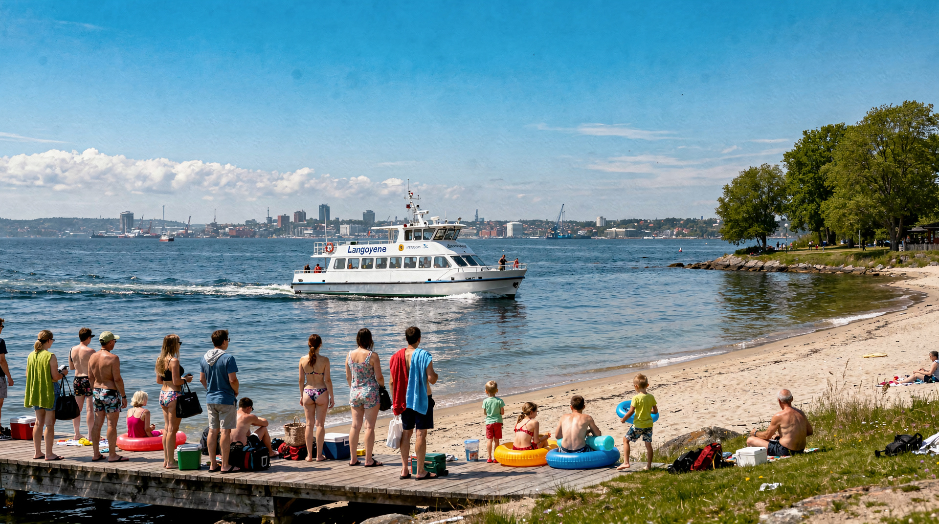
Take the Ruter B5 ferry from Aker Brygge pier 3 or Rådhusbrygge pier 4. Journey time is 8 minutes. Covered by any standard Ruter ticket (NOK 41 / USD 4.40 on the app) or Oslo Pass. Ferries run every 20–30 minutes in summer, typically late April through September.
Eight minutes from the city, a thousand years away
There is something disorienting about standing in front of a medieval monastery wall while hearing the faint hum of electric ferries behind you and seeing the glass towers of Bjørvika across the water. Hovedøya manages this compression of history without effort — it’s been here longer than Oslo’s current skyline by about nine centuries, and it has the quiet self-assurance of a place that has outlasted many things already.
At 0.95 square kilometres, Hovedøya (literally “main island”) is the closest of Oslo’s inner fjord islands to the city waterfront. The 8-minute Ruter ferry crossing from Aker Brygge makes it startlingly accessible: you step off tram 12 at Aker Brygge, walk 200 metres to pier 3, buy a ticket on the Ruter app, and you’re on a forested island with monastery ruins before most people have finished their morning coffee.
This guide covers what’s actually on the island, how to navigate it, and what makes Hovedøya worth a full half-day rather than a rushed 45-minute walk between ferry connections.
| Where | Inner Oslofjord, 8 minutes by ferry from Aker Brygge |
| Cost | Standard Ruter ticket, around NOK 41; Oslo Pass included |
| Time needed | 2–3hrs for ruins and a swim, 4–5hrs for a full island day |
| Season | Ferry runs roughly late April to September |
| Don’t miss | The Cistercian monastery ruins and the south shore swimming rocks |
The Cistercian monastery: what survives and why it matters
The monastery on Hovedøya was founded in 1147 — the same decade that saw Oslo established as a permanent settlement. The founders were Cistercian monks from Kirkstead Abbey in Lincolnshire, England, operating under the authority of Bernhard of Clairvaux’s reforming movement. This is an unusual historical fact: the monks who built the first substantial stone structure in the Oslo region were English, following a continental French religious order, operating on a fjord island that most of their contemporaries in Western Europe would have considered the edge of the known world.
The monastery functioned for about 380 years before the Reformation swept Norway under Danish rule. In 1537, the monastery was dissolved and its assets transferred to the crown. The stone was subsequently quarried — much of it used in Oslo’s Akershus Fortress and other buildings. What was too embedded or awkward to remove was left, which is why the east cloister wall and the outline of the chapel foundation survive.
What you see today is: a substantial section of the cloister’s east wall, standing to roughly 3 metres in parts; the outline of the chapel floor, defined by foundation stones; and a protected perimeter that prevents further disturbance. An information board near the ruins gives the historical outline in Norwegian and English.
The ruins are small by the standards of, say, Cistercian monasteries in England or France. They are large in the context of Oslo’s history, where stone buildings of this age are genuinely rare. For visitors who have been to Rievaulx or Fountains Abbey in Yorkshire, Hovedøya will feel modest. For visitors who haven’t, it’s a striking fragment of early Norwegian medieval history in an unexpectedly beautiful setting.
The Historical Museum guide and the Viking Planet guide place this period in broader context for those interested in the history of the Oslo region before and around the monastery period.
Walking the island: three circuits
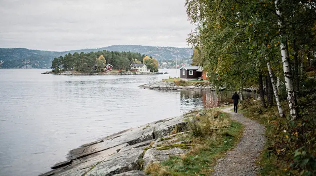
Hovedøya’s trail network is modest and easy to navigate. The island is criss-crossed by gravel and earth paths that connect the main pier, the monastery ruins, the southern shore, and the island’s interior. Signage is reasonable but not comprehensive — it helps to have a rough mental map before setting out.
The monastery loop (45 minutes): From the main pier, the wide central path leads directly inland and slightly uphill toward the ruins. The monastery complex is visible from the path within 5 minutes. After exploring the ruins, follow the path east through birch and oak forest to the island’s eastern point, then loop back along the north shore path to the pier. This circuit takes 40–50 minutes at a relaxed pace and covers the island’s main attraction without demanding any serious walking.
South shore extension (add 30 minutes): After the monastery, continue south toward the open shore rather than turning east. The south shore is the warmest part of the island in summer — it faces directly onto the inner fjord, catches afternoon sun from late morning onwards, and has flat rock ledges above clear fjord water. Add this leg to the monastery loop for a half-day that includes both ruins and swimming. The path reconnects with the western shore trail for the return to the pier.
Full island circuit (2 hours): The island’s perimeter, following all available shore and forest paths, takes about 90 minutes to 2 hours depending on pace and the length of time spent at the monastery and swimming spots. The north shore path is quieter and offers different views — the Oslo skyline, the bridge to Ekebergskrenten, and the ferry route coming from the city. This is the best route for those who want to see the whole island and find the quieter corners away from the main pier crowds.
Swimming at Hovedøya
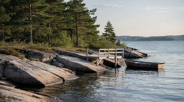
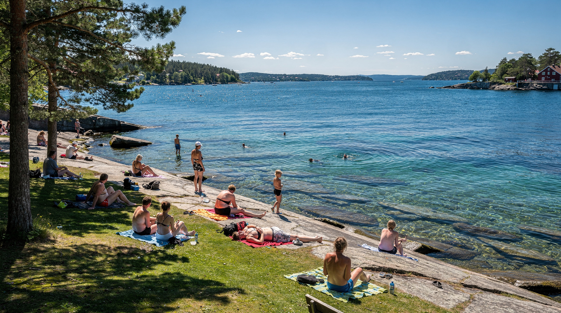
The south shore is the swimming destination. The rocks here are flat and broad enough to lay out a towel, with natural entry points into fjord water that is genuinely clean and, in peak summer, genuinely warm by Norwegian standards: 19–22 °C in July–August.
There are no sandy beaches — this is rocky-shore fjord swimming in the Scandinavian tradition, meaning you ease yourself in from the rocks rather than walking in from a beach. If you’re not used to this, start at a ledge that’s only 20–30 cm above the waterline rather than the more dramatic jumps that teenagers favour from the higher rocks.
The southern shore swimming spots get busy on hot weekends. The key is to explore a little further along the shore from the obvious spots near the path junction — 200 metres west or east of the main swimming area, the rocks thin out and you’ll often find a ledge with no one on it. Oslonians who have been coming to Hovedøya for years have their personal spots and they’re not always on the main path.
Water shoes are useful on the approach to the entry points — the rocks above the waterline have algae patches that are slippery when wet. Below the waterline, the fjord floor around Hovedøya is mostly sand and rock with reasonable visibility in calm conditions.
Nakholmen: the quieter neighbour
Nakholmen is the small island immediately southeast of Hovedøya. It’s served by the same B5 Ruter ferry route and sits in the shadow of its more famous neighbour — which means it’s notably quieter.
Nakholmen is primarily residential: a small community of summer houses (hytter) occupies much of the island, and the interior trails are limited compared to Hovedøya. What Nakholmen offers is a slightly different perspective on the fjord, access to an eastern-facing rock shore with views toward Nesodden, and the kind of quiet that Hoofdøya only reliably offers early in the morning.
The guided Nakholmen tour that departs from central Oslo combines both islands with local guide commentary, covering the monastery history in depth and showing visitors the quieter coves that independent walkers often miss on a first visit. This is a good option for those who want historical depth and swimming without studying timetables.
Getting the timing right
Hoofdøya is the most visited of the inner-fjord islands, and on sunny summer weekends the main path from the pier gets busy by 11am. The monastery ruins and south shore swimming spots remain pleasant throughout the day — the island is large enough to absorb the crowds — but the sense of solitude that makes the island magical is best experienced early or late.
Best times to visit:
- Weekday mornings in July — ferries run frequently, the island is quiet until about noon.
- Late afternoon on any day — the day-trippers begin heading back to the city after 4pm, and the south shore in afternoon sun with fewer people is hard to beat.
- Overcast days — crowds drop dramatically when the sun disappears. The monastery ruins are just as atmospheric in grey light, and the swimming coves are easier to have to yourself.
- Early June or September — before and after the peak weeks, the ferry runs but the island is quieter. The monastery is accessible year-round.
Avoid: Saturday and Sunday midday in July and August if you’re sensitive to crowds. The ferry from Aker Brygge fills up quickly on warm weekend mornings and the shore near the main swimming area can have 50–100 people on a peak day.
Picnics and provisions
The kiosk near the pier sells ice cream, soft drinks, and basic packaged snacks in season. That’s the full extent of food infrastructure on Hovedøya. The practical norm for Oslo island visitors is to bring everything from the city.
Good provisioning strategy: pick up food at Mathallen Oslo (Vulkan, 10 minutes by tram from city centre), a good deli in Aker Brygge, or the Kiwi or Rema 1000 supermarkets near Nationaltheatret. The Mathallen guide lists specific vendors worth visiting for island picnic supplies.
What to bring: smørbrød (open-faced sandwiches), fruit, nuts, plenty of water, and something to sit on (a lightweight mat or the thick Norwegian sun-towels sold in every supermarket). Grilling is not permitted on Hoofdøya — this is an important distinction from Langøyene, where grill areas exist. Leave the portable BBQ at home.
Combining Hoofdøya with the broader fjord day
Hoofdøya is a natural first stop on a full island-hopping day. The 8-minute crossing makes it the lowest-commitment island visit — if the weather turns or you’ve had enough, you’re back in Oslo almost immediately.
For a full-day loop, continue from Hoofdøya to Gressholmen (the next B5 ferry stop) for a quieter swim, then back to the city via Nakholmen if the timing allows. The island-hopping guide covers the full sequence in detail including optimal ferry timing.
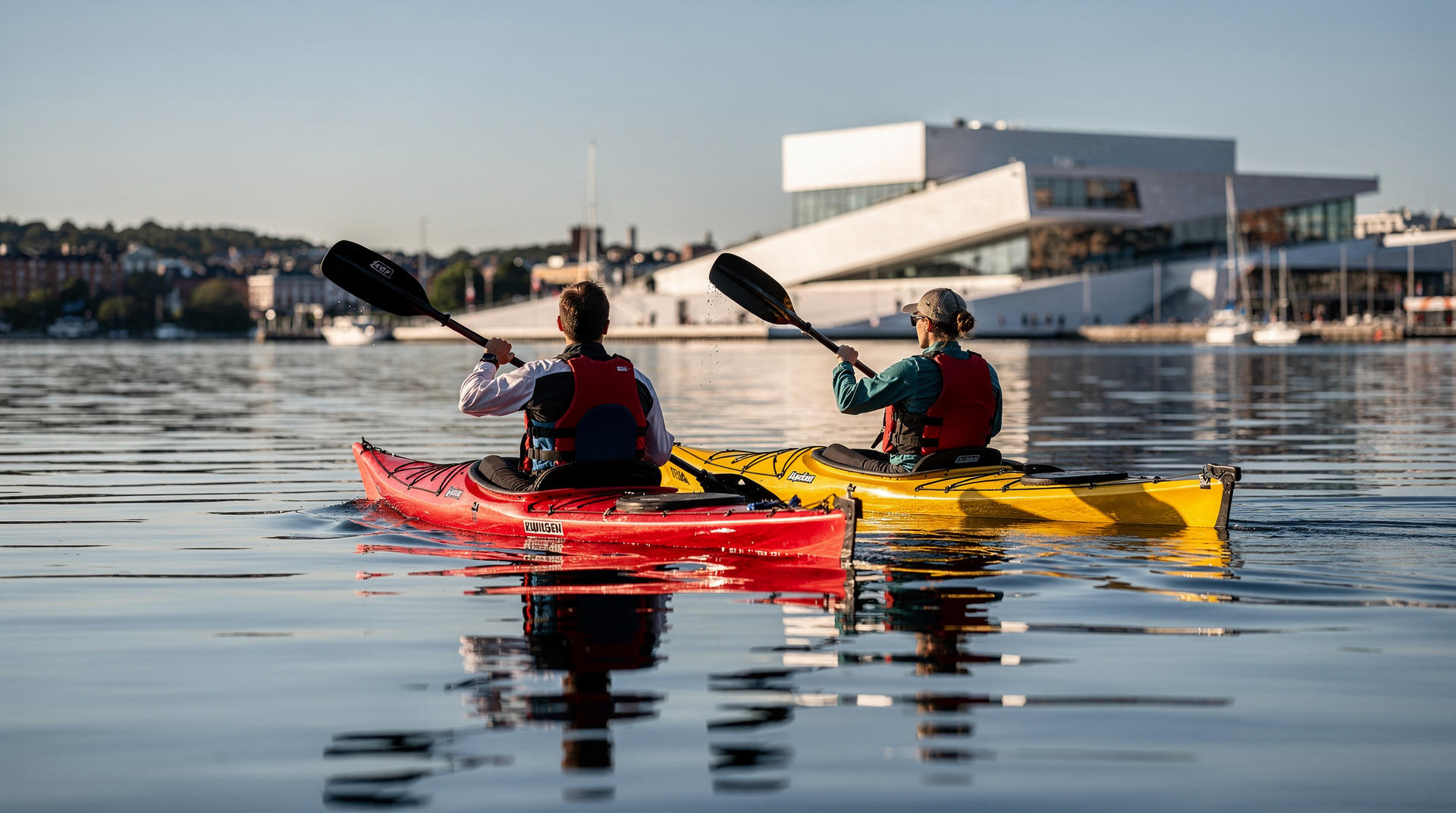
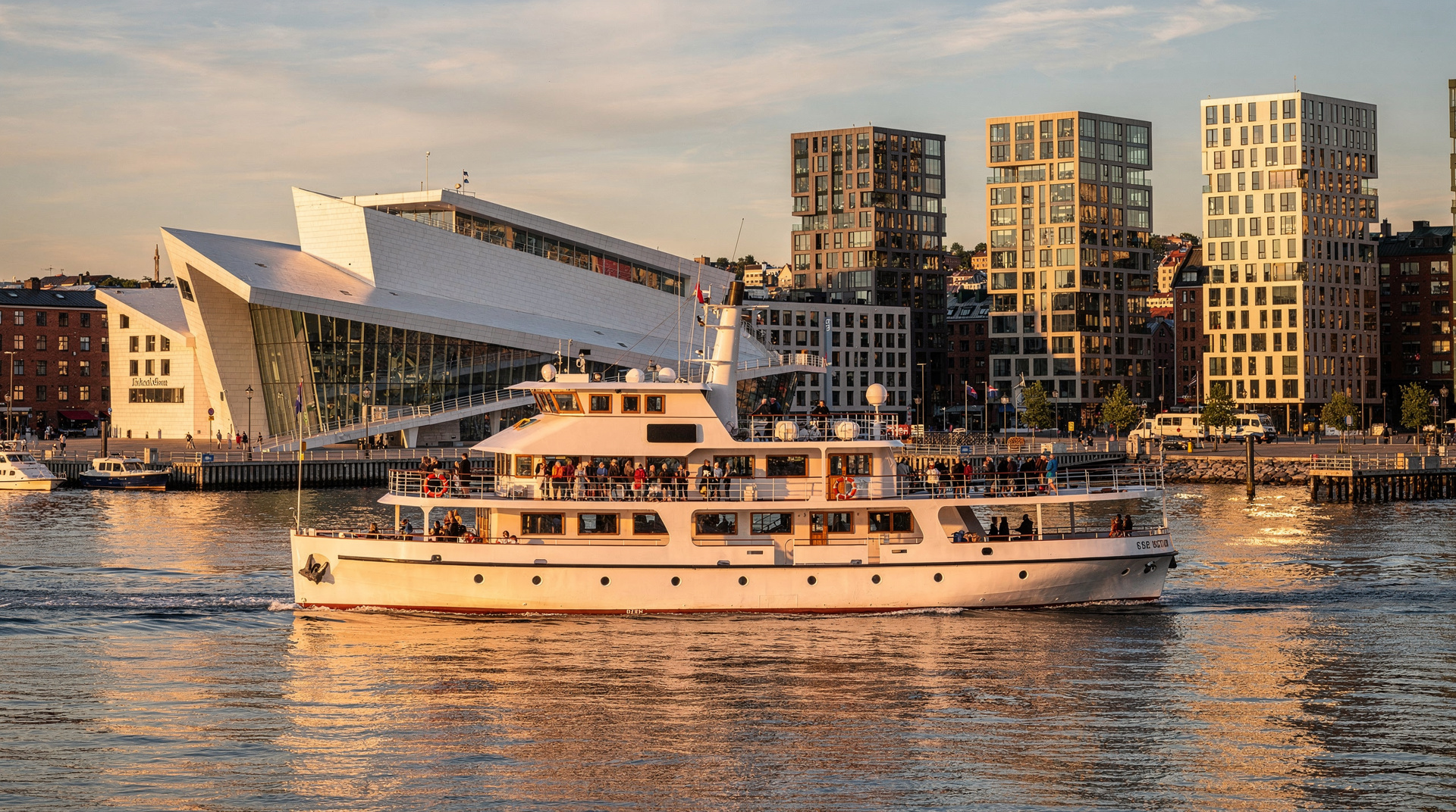
For those who want the water perspective from the other direction, the Oslofjord cruises guide covers the electric cruise boats that pass within view of Hoofdøya’s south shore — you see the monastery ruins briefly from the water, which gives the island a different sense of scale.
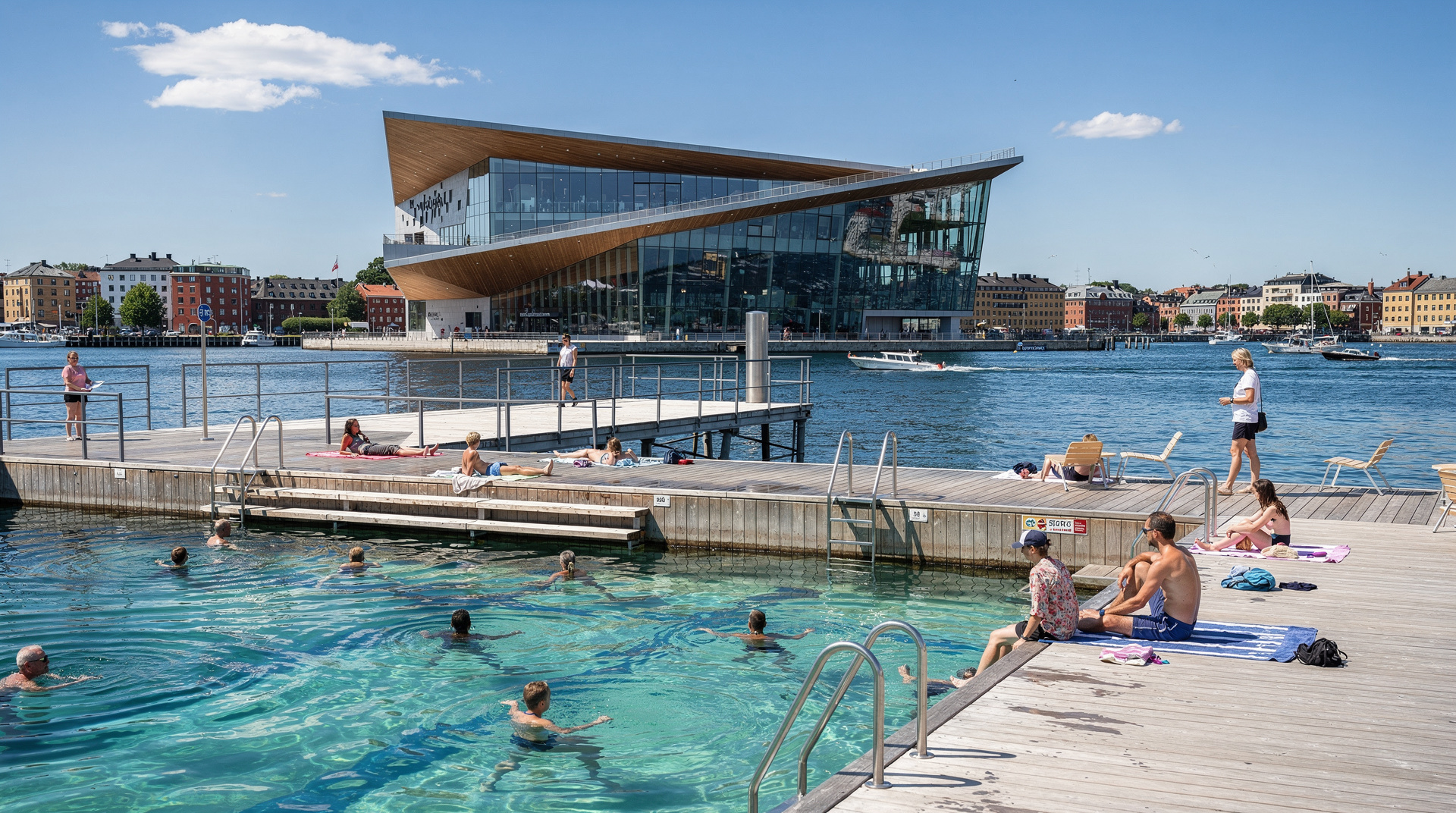
The Oslo swimming spots guide covers how Hoofdøya’s coves compare with the city swimming spots at Sørenga and Tjuvholmen.
Seasonal notes
The island ferry service typically starts in late April or early May and continues through September. The monastery ruins are accessible year-round to anyone who arrives by private boat, but the public ferry service is entirely seasonal.
The island is at its most beautiful in late May and early June: the birch trees are freshly green, the walking paths are clear of winter debris, the monastery stone takes on a warm tone in long spring light, and the crowds haven’t arrived yet. The water is still cold for swimming (12–15 °C) in May, but the island itself is lovely.
July and August are peak for swimming and the full summer experience, but also peak for crowds. Early September is a good compromise: warm water (sometimes still above 18 °C), significantly fewer people, and the birch trees beginning to turn yellow.
The best time to visit Oslo guide puts the island season into context with the city’s broader seasonal rhythm.
Practical information
Ferry: Ruter B5 from Aker Brygge pier 3 or Rådhusbrygge pier 4. Approximately every 20–30 minutes in peak season. Check the Ruter app for current timetables.
Cost: Standard Ruter ticket (NOK 41 / USD 4.40) or day pass (NOK 119 / USD 12.80). Oslo Pass included. Children under 18 at youth rate.
Facilities on island: Seasonal kiosk, toilet facilities near the pier, picnic areas. No lockers or storage.
Camping: Not permitted on Hoofdøya (Langøyene is the camping island).
Dogs: Allowed. Keep on lead in the protected nature reserve areas around the monastery.
Accessibility: The main pier is accessible; trails are unpaved. The monastery ruins area involves some uneven stone ground.
Emergency: Mobile coverage is good near the pier. The ferry operators monitor emergency radio.
The Ruter transport guide explains how to buy tickets and use the app if this is your first time with Oslo’s public transport system. The Oslo Pass guide helps you decide whether the pass makes financial sense for a day that includes the island ferry.
A sample half-day itinerary
For a well-paced first visit, catch a mid-morning ferry from Aker Brygge pier 3 — arriving by 10:00 on a weekday beats both the midday crowds and the worst of the heat in high summer. Walk the monastery loop first while the ruins are still quiet and the light is good for photos, then continue onto the south shore extension for a swim once the sun has had a chance to warm the rocks.
Break for a picnic lunch brought from Mathallen or a supermarket near Nationaltheatret — there’s no need to rush back for food. If energy allows, finish with the quieter north shore loop before catching an afternoon ferry back, timing your return before the 4pm rush of day-trippers heading the same direction. The whole sequence comfortably fills three to four hours without ever feeling hurried.
Accessibility and who should think twice
Hovedøya suits most fitness levels — the main paths are gravel and largely flat, and the monastery loop in particular is manageable for most visitors including families with a stroller on the main path (though not on the rockier shore sections). Visitors with significant mobility limitations should be aware that the trails are unpaved and the swimming access points involve uneven rock, so the island rewards a slower, careful pace rather than being fully step-free. Anyone expecting a polished, signposted heritage site on the scale of a major European abbey should recalibrate: this is a modest, atmospheric ruin in a genuinely wild island setting, not a curated visitor attraction with a gift shop and café.
Hovedøya vs the other inner-fjord islands
| Hovedøya | Gressholmen | Langøyene | |
|---|---|---|---|
| Ferry time | 8 minutes | ~15 minutes | ~30–40 minutes |
| Main draw | Monastery ruins, easy swimming | Quieter shore, fewer visitors | Sandy beaches, camping |
| Facilities | Seasonal kiosk | Minimal | Grill areas, more space |
| Best for | First-timers, half-day trips | A quieter second stop | Full beach days, overnight camping |
| Crowds | Busiest of the group | Moderate | Spread over more space |
If you only have time for one island, Hovedøya is the easiest choice — it’s the shortest crossing and gives you both history and swimming in one visit. If crowds put you off, treat it as the first stop on a longer island-hopping route rather than the whole day.
Frequently asked questions about Hovedøya
What are the monastery ruins on Hovedøya?
The ruins are what remains of a Cistercian monastery founded in 1147 by monks from Kirkstead Abbey in Lincolnshire, England. It was among the earliest stone buildings in Norway's interior. The monastery was dissolved during the Reformation in the 1530s and the stone was subsequently quarried for other buildings. The surviving east cloister wall and chapel footprint are protected monuments.Can you swim at Hovedøya?
Yes — the south-facing rocky shore has good swimming spots that catch afternoon sun. The water is clean fjord water, swimmable from June through late August. There are no sandy beaches; you swim from flat rocks. Water temperature peaks at around 19–22 °C in July–August.Is there food on Hovedøya?
A small kiosk operates near the main pier in season (June–August), selling ice cream, drinks, and basic snacks. There is no restaurant. For anything more substantial, bring your own food from Oslo — this is standard practice for Oslo island visitors.How long should you spend on Hovedøya?
The monastery ruins, main walking circuit, and a swim can be done comfortably in 2–3 hours. A more leisurely day with picnic, a long swim, and exploration of the quieter north shore takes 4–5 hours. Combining it with Gressholmen makes a full island day.Is Nakholmen the same as Hovedøya?
No — Nakholmen is a small adjacent island near Hovedøya, connected to it at low water levels and served by the same B5 ferry route. It is smaller, quieter, and has fewer trails, but is included in some island-hopping itineraries. The guided Hovedøya and Nakholmen tour covers both.Is Hovedøya better than Gressholmen or Langøyene for a first island visit?
For a first visit, yes — Hovedøya's 8-minute crossing, monastery ruins, and reliable swimming spots make it the easiest island to plan around. Gressholmen is quieter and good for a second stop on the same day; Langøyene is better suited to a full beach day or camping trip further from the city.Do I need to book anything in advance for Hovedøya?
No booking is needed for an independent visit — just buy a Ruter ticket in the app before boarding the ferry. Only the guided Hovedøya and Nakholmen tour requires advance reservation, and that's optional rather than necessary.
Top experiences
Bookable activities with verified prices and instant confirmation on GetYourGuide.